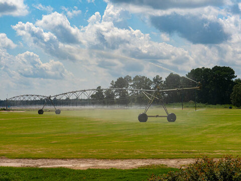
What is recorded here
Discovered in 2013 in the course of a review of LIDAR data where it is visible as a series of small rectangular field-like divisions defined by low linear banks. These divisions are contained within a clearly defined rectangular area (c. 94.5m N-S; 106m E-W) of about 1.06 hectares which has been incorporated along its E side into a field boundary.
The attached image is uploaded courtesy of Dr Steve Davis.
Compiled by: Matt Kelleher
Date of upload: 11 October 2013
The monument record does not grant public access. Check the route and ask the landowner before entering private land.
- What survives
- Recorded monument
Places near here
 Enclosure in Banna WestEnclosure · 765 yd
 Man-made underground passage in Kill (clanmaurice By.)Man-made underground passage · 1234 yd
 Banna StrandBeach / strand · 2.0 mi
 Our Lady's Holy WellSpring · 2.2 mi
 Ballyheige Castlecountry house · 2.3 mi
 Catholic Church of the Sacred Heartchurch/chapel · 2.4 mi
 CastleCastle, tower house · 2.8 mi
 Rathoneen Castle (remains of)Castle · 2.8 mi
 Ardfert CathedralHeritage attraction · 2.9 mi
 15th Centenary of the birth of St-BredanMemorial · 2.9 mi
 Statue of Roger CasementMemorial · 3.0 mi
 Ardfert FriaryVisitor information · 3.0 mi
Other information
Photo: Credit not shown in the picture search · Rights wording not checked; contact us if this picture should be removed