What is recorded here
The following description is derived from both the published 'Archaeological Inventory of County Louth' (Dublin: Stationery Office, 1986) and the 'Archaeological Survey of County Louth' (Dublin: Stationery Office, 1991). In certain instances the entries have been revised and updated in the light of recent research.
Date of upload/revision: 17 July 2007
Possible ancient field system surrounding ringfort (LH008-055001-) on all sides.
The monument record does not grant public access. Check the route and ask the landowner before entering private land.
- What survives
- Recorded monument
Places near here
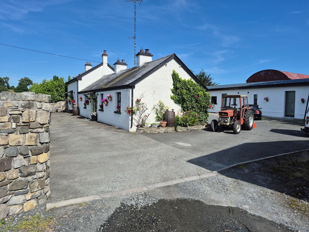 DunanoreFairy fort / earthen ringfort · 12 yd
 Enclosure in CastletowncooleyEnclosure · 326 yd
 Grange UpperMountain / peak · 667 yd
 Castletown Househouse · 939 yd
 Cooley CastleCastle, tower house · 989 yd
 R.C. ChapelChurch · 1558 yd
 The BushPicnic place · 1600 yd
 Mount Bagnell FoerCastle, motte and bailey · 1.1 mi
 BarnavaveMountain / peak · 1.4 mi
 Carlingford - Loop 1A- Commons LoopWalking route · 2.1 mi
 Carlingford Heritage CentreVisitor information · 2.3 mi
 Graveyard in Liberties OF CarlingfordGraveyard · 2.3 mi