
What is recorded here
From the National Monuments Service (Archaeological Survey of Ireland) record KE076-005005
Places near here
Photo credits
- Maker not stated on source page, en.wikipedia.org
- Maker not stated on source page, www.irelandhighlights.com
- Maker not stated on source page, tr.pinterest.com
- Kmcnamee, Wikimedia Commons · CC BY-SA 4.0
- Maker not stated on source page, ca.pinterest.com
- Colin Park, Geograph · CC BY-SA 2.0
- Maker not stated on source page, nexusnewsfeed.com
- Maker not stated on source page, www.pinterest.com
- Maker not stated on source page, ru.pinterest.com
- Maker not stated on source page, www.gpsmycity.com
- Adrian King, Geograph · CC BY-SA 2.0
 Standing stone in CoolcurtogaStanding stone · 588 yd
Explorer Tom Standing stone in Coolcurtoga is hiding in the gorse like a very prickly secret. The shortcut through there isn’t a…
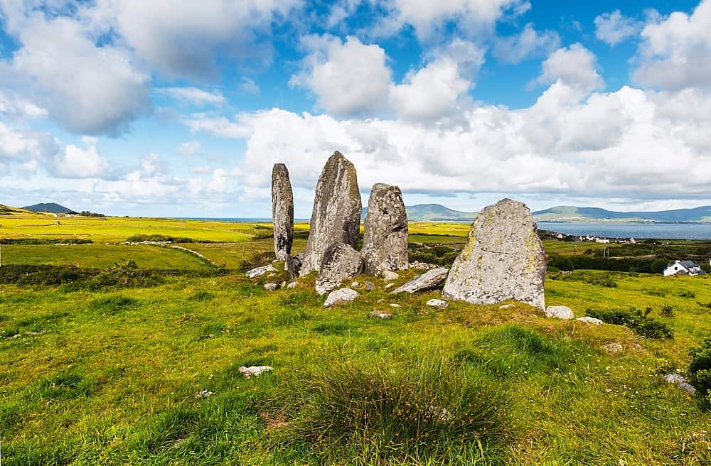 Standing stone in Annagh BegStanding stone · 1034 yd
Explorer Tom Standing stone in Annagh Beg is jealous it doesn’t have a proper name like its famous cousin down the road. It just…
 Enclosure in CloonkeenEnclosure · 1.7 mi
Explorer Tom Enclosure in Cloonkeen was built by a giant who forgot he was tall and tripped over the river bank. It’s only visible…
 Glenflesk GAA pitchGAA ground · 1.9 mi
 Standing stone in DerrymaclavlodeStanding stone · 1.9 mi
Explorer Tom Standing stone in Derrymaclavlode thinks Queen Victoria visited it once and left a coin, which she definitely didn’t.…
Standing stone in GortacareenStanding stone · 1.9 miExplorer Tom Standing stone in Gortacareen was once six feet tall, which means two lads definitely bet on its height back in the day…
 The Paps WestMountain / peak · 2.0 mi
Explorer Tom The Paps West has been in a furious fairy dispute over parking rights with the clouds for the last three centuries. The…
 Fairy fort / earthen ringfort in GortacareenFairy fort / earthen ringfort · 2.1 mi
Explorer Tom Fairy fort / earthen ringfort in Gortacareen was nearly sold as a horse at auction last Tuesday. The buyer walked away…
 Stone row in LisnagraveStone row · 2.8 mi
Explorer Tom Stone row in Lisnagrave has a long-standing grudge against the weather for making it look like a broken necklace. One…
 Stone circleStone circle, multiple-stone · 4.5 mi
Explorer Tom Stone circle in Readrinagh has an imaginary twin across the sea, but it's too shy to say hello or even wave properly.…
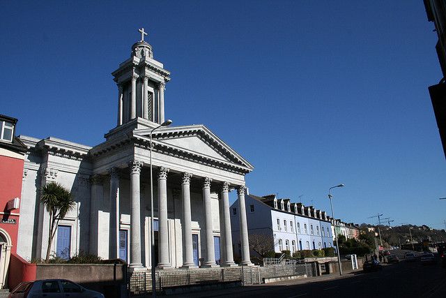 Catholic ChurchChurch · 9.4 mi
Explorer Tom Catholic Church in Farrankeal sits right next to the fair green, so it's probably seen some wild characters over the…
 Knocknagree Roman Catholic ChurchChurch/chapel · 9.4 mi
Explorer Tom Knocknagree Roman Catholic Church is having a quiet rivalry with every other church in town. It’s got Gothic lancets…
More archaeology and monuments in County Kerry · All of County Kerry

What do you know about this place?Tap to add a comment or ask a question