What is recorded here
In an expanse of undulating coastal pasture, bordered at E by the deep-sided ravine of the Ballymeeny River. A relict system of field banks is visible within an area (c. 180m N–S; c. 100m E–W) of undulating terrain bordered at E by the steep-sided ravine of the Ballymeeny River, and at W by a gently dip into a shallow linear depression of damp ground, with a spring/drain that extends to NE to intersect with the ravine. The field banks have been largely levelled and in parts are barely discernible. They appear as low sod-covered linear rises and scarps, with occasional stones protruding from the sod. Some banks appear to define rectilinear areas, but other following natural contours lines. The remains are fragmentary and it is not possible trace a coherent pattern. There is a hut site (SL011-122----), partly enclosed by field banks, roughly in the centre of the field system, and a second hut site (SL011-123----) is located at the NE edge of the area. A rath (SL011-081001-) is located on the SW limits of the field system, an enclosure (SL011-056----) c. 100m to N, and a holy well (SL011-057----) in the ravine to N.
Compiled by: Jane O’Shaughnessy
Date of upload: 4 July 2013
The monument record does not grant public access. Check the route and ask the landowner before entering private land.
- What survives
- Recorded monument
Places near here
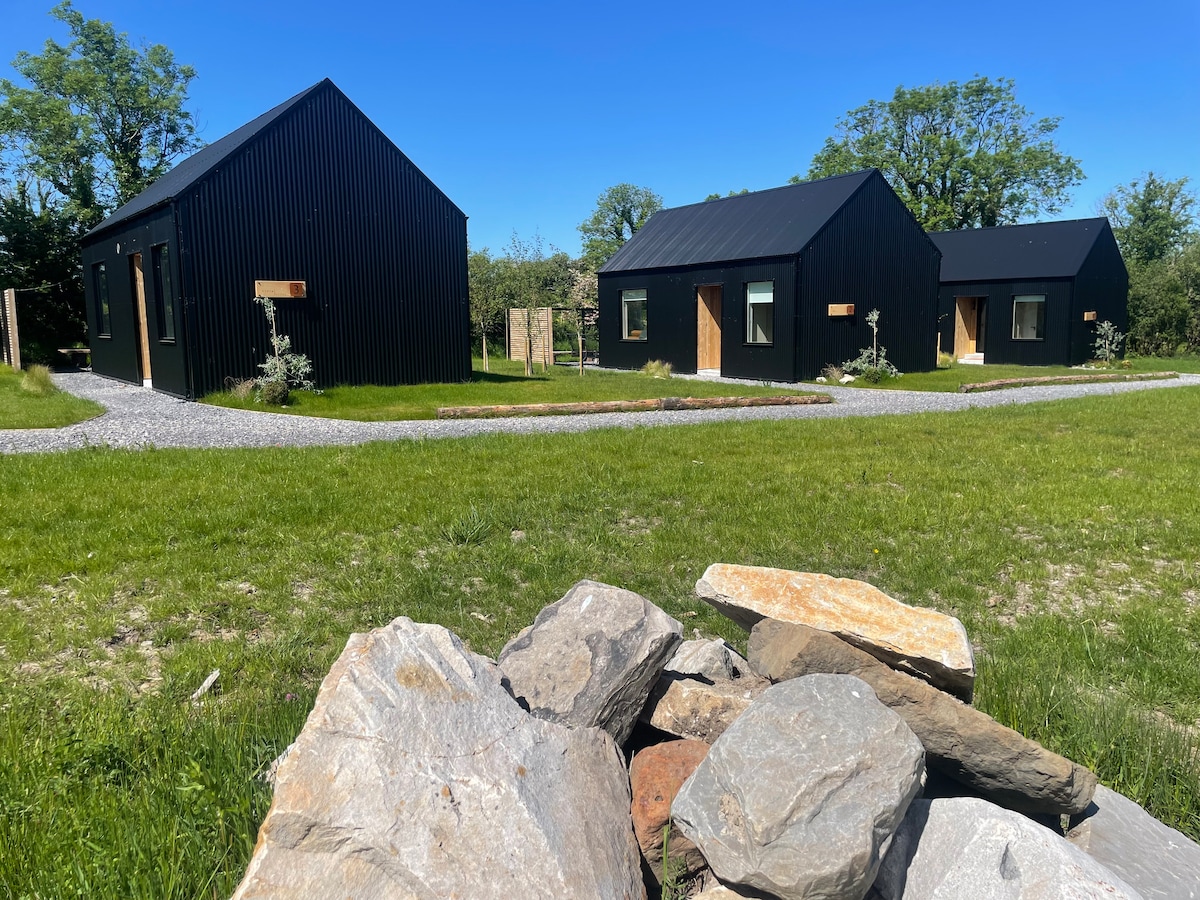 Hut site in Alternan ParkHut site · 135 yd
 Altar in DoonaltanAltar · 153 yd
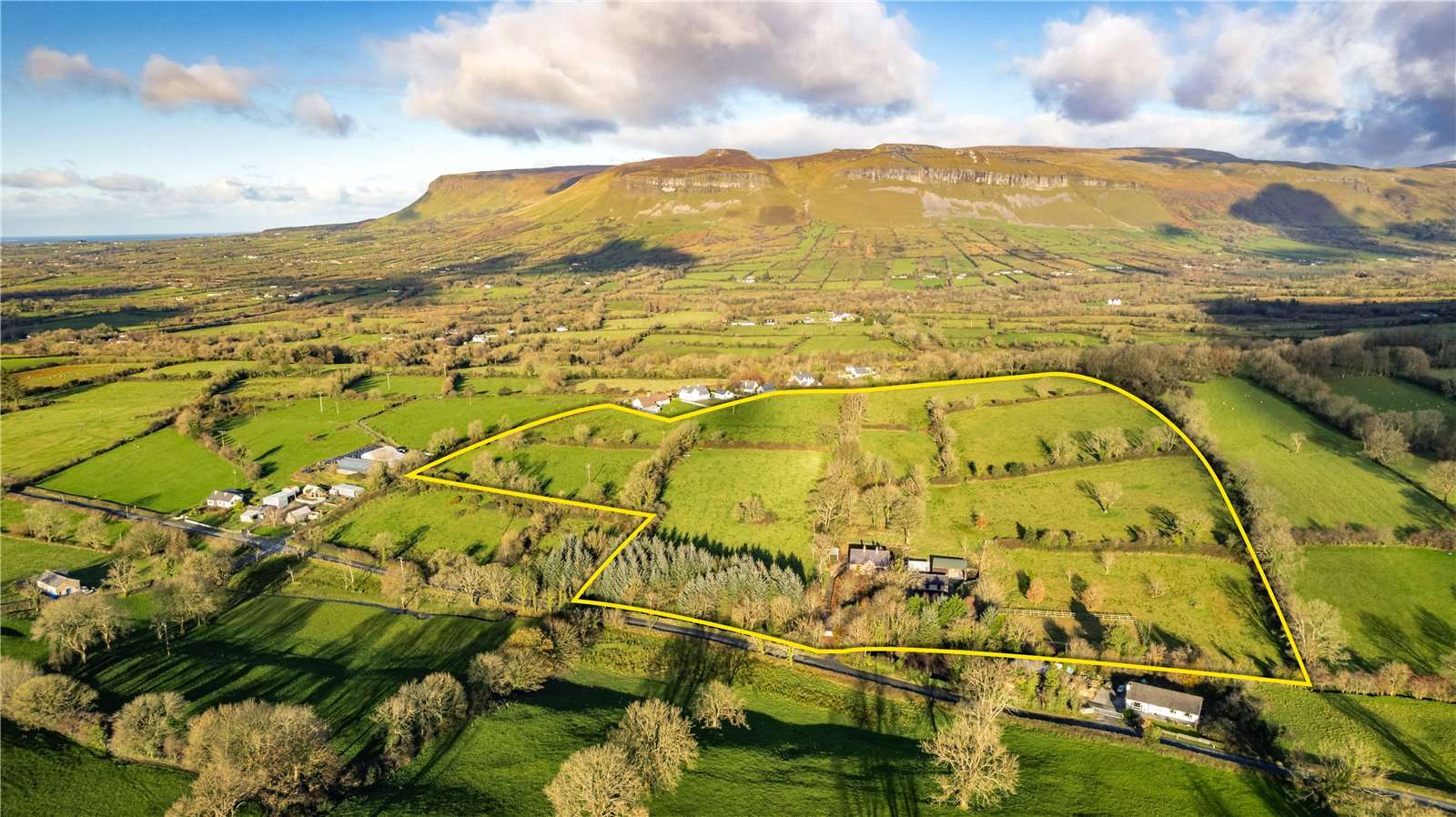 IndicatedBridge · 358 yd
 Glenburn Househouse · 509 yd
 Split RockNamed rock · 1.1 mi
 CastleCastle, motte · 1.5 mi
 Ballynahowna CastleCastle, tower house · 1.6 mi
 DonaghHeadland · 1.7 mi
 Jim Smith MemorialMemorial · 2.3 mi
 Wild Atlantic Way: Easky PierVisitor information · 2.8 mi
 Eamonn's TopMountain / peak · 7.4 mi
 AnnatoranMountain / peak · 8.0 mi