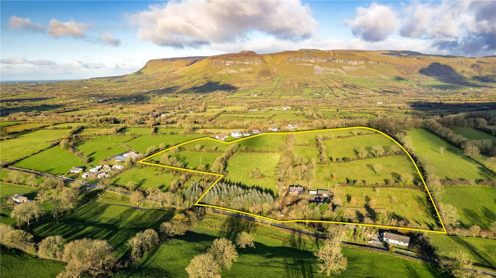
What is recorded here
Situated in level wet pasture spanning the S-N flowing Ballymeeny River. Stone bridge (L 7.4m; max. H at centre 1.90m) constructed of roughly quarried limestone blocks bonded with a gravelly limestone mortar. The bridge is supported by three slightly pointed arches evenly spaced across the length of the bridge with the central arch being slightly wider and higher (H 1.5m; Wth 1.45m) while each side arch is smaller (H 1.3m; Wth 1.25m). The arch voussoirs and the key stones are undressed and undifferentiated from the rest of the fabric. The columns (L 1.25m i.e. parallel to water flow; Wth1.15m) on the S side have triangular breakwaters, now partly ruined, of similar fabric to the rest of the bridge. The top of the bridge measures only 1m in width so it is unlikely that walling ever existed.
Attached images:
SL011-119----_01 viewed from NE
SL011-119----_02 viewed from S, showing ruined breakwaters
Compiled by: Mark Keegan
Date of upload: 19 January 2011
The monument record does not grant public access. Check the route and ask the landowner before entering private land.
- What survives
- Recorded monument
Places near here
 St. Ernans WellHoly well · 181 yd
 Altar in DoonaltanAltar · 205 yd
 Glenburn Househouse · 864 yd
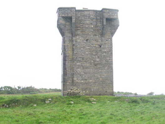 Carrownrush Towersignal tower · 1704 yd
 Split RockNamed rock · 1.2 mi
 CastleCastle, motte · 1.7 mi
 DonaghHeadland · 1.7 mi
 Ballynahowna CastleCastle, tower house · 1.8 mi
 Jim Smith MemorialMemorial · 2.3 mi
 Wild Atlantic Way: Easky PierVisitor information · 2.8 mi
 Eamonn's TopMountain / peak · 7.5 mi
 AnnatoranMountain / peak · 8.1 mi
Other information
Photo: Credit not shown in the picture search · Rights wording not checked; contact us if this picture should be removed