What is recorded here
At the top of a very gentle SW slope, in tillage. Visible on a 1970 aerial photograph (CUCAP BDO 44) as the cropmark of fosse defining a D-shaped annexe or field (est. L c. 30m NE-SE) attached to the NW sector of a possible ringfort (KD035-004001-). No visible surface trace survives.
Compiled by: Gearóid Conroy
Date of upload: 27 November 2013
The monument record does not grant public access. Check the route and ask the landowner before entering private land.
- What survives
- Recorded monument
Places near here
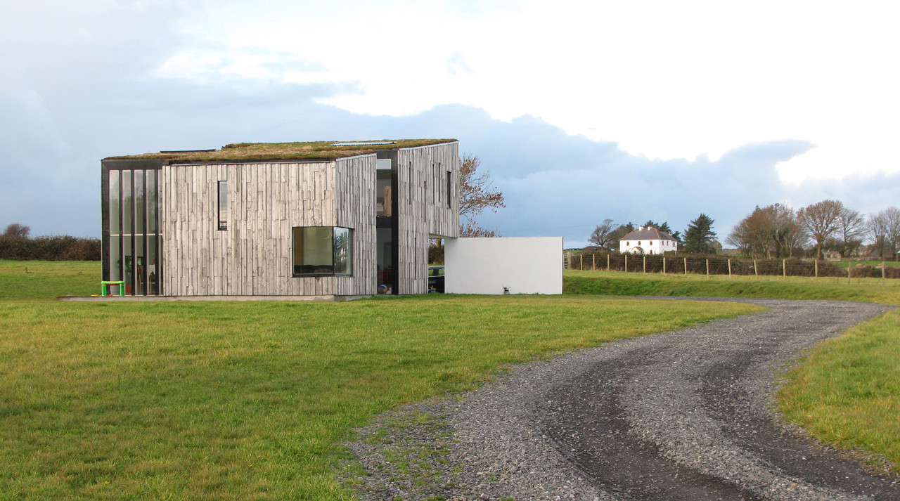 Enclosure in SrowlandEnclosure · 288 yd
 IndicatedEnclosure · 449 yd
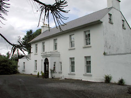 Salisbury Househouse · 821 yd
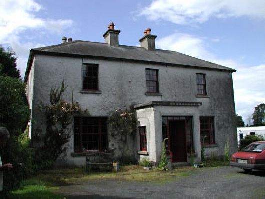 Moatstown Housemiller's house · 1689 yd
 Bawn in Townparks (athy West Urban Ed)Bawn · 1.5 mi
 Woodstock Castle (in Ruins)Castle, hall-house · 1.5 mi
 1798 memorialMemorial · 1.9 mi
 Ernest ShackletonMemorial · 2.0 mi
 Town HallMuseum · 2.0 mi
 Scots PineScots Pine · 2.5 mi
 Derryvullagh IslandForest · 2.5 mi
 History of Moat of ArdscullVisitor information · 3.5 mi