What is recorded here
A wide break in the bank at the E of an enclosure (SL013-026001-) gives access to a small field annexe (Wth. 8m N-S) defined at N and S by earthen field banks. The N bank extends from the NE of the enclosure for 27m to the ENE where it intersects with a second field bank aligned N-S. This extends in a sinuous line to the S for between 60m and 70m roughly following the contours of the natural rise. The field banks vary in width (Wth 1.5-3.5m) and external height (H 0.8-1.3m). The variation in height is largely due to the natural changes in ground level.
Compiled by: Patrick F. O'Donovan
Date of upload: 19 January 2011
The monument record does not grant public access. Check the route and ask the landowner before entering private land.
- What survives
- Recorded monument
Places near here
 Enclosure in SkibbolecorraghEnclosure · 18 yd
 Derkmore PointHeadland · 353 yd
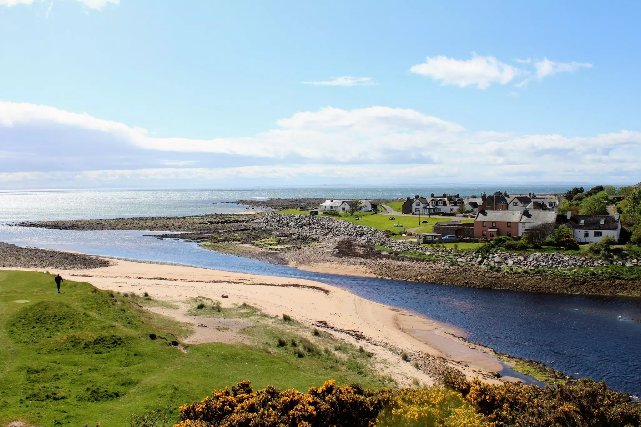 TobernasoolRitual site, holy/saint's stone · 531 yd
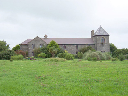 The Old Coastguard Stationcoastguard station · 547 yd
 Derk HouseOfficially recorded historic building · 1066 yd
 Bawn in CarrowbrickeenBawn · 1294 yd
 CastleCastle, ringwork · 1.7 mi
 Portavaud PointHeadland · 1.8 mi
 Strandhill BeachBeach / strand · 1.8 mi
 Lahanacappul IslandIslet · 2.0 mi
 CulleenamoreBeach / strand · 2.1 mi
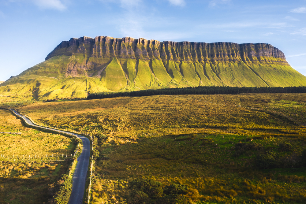 SuperHeritage attraction · 2.1 mi