What is recorded here
Murneen South holds a lost boundary beside a rath, aligned against modern fields and erased by reclamation. It may have marked pasture, exclusion or offering, but its date and owner have gone quiet. The land still remembers the shape, even when people stopped seeing it.
In pasture, immediately to NE of a rath (MA091-026001-). A field boundary is visible on an aerial photo (SMR file: GSI M 99 –100; Roll 213, pr. 24) skirting the N side of the rath and extending to NW for c. 80m. Inspected in 1998, the field boundary had been removed during land reclamation works and a cropmark (L c. 20m; Wth c. 3m) was visible immediately to NW of the rath. The field boundary is of unknown date, but its alignment runs counter to the present-day N-S and E-W layout of fields.
Compiled by: Jane O’Shaughnessy
Date of upload: 9 February 2022
The monument record does not grant public access. Check the route and ask the landowner before entering private land.
- What survives
- Recorded monument
Places near here
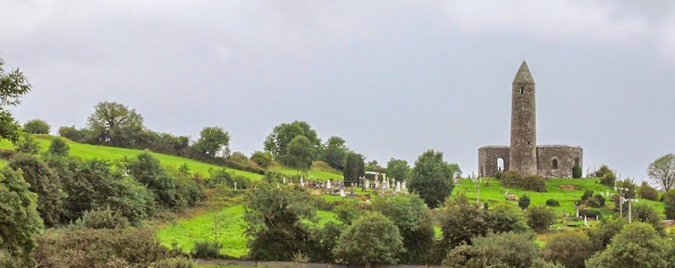 Enclosure in Murneen SouthEnclosure · 155 yd
 Bawn in Murneen SouthBawn · 357 yd
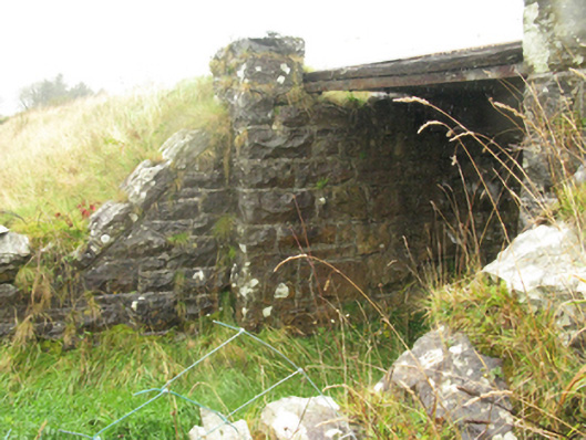 bridgebridge · 1.8 mi
 Ballybooley CastleCastle · 1.9 mi
 Ballyhowly Housefarm house · 1.9 mi
 Knock ShrineHeritage attraction · 3.1 mi
 Knock MuseumMuseum · 3.1 mi
 Carrowbeg WoodWood · 5.2 mi
 Oak WoodForest · 5.6 mi
 Mass RockNamed rock · 17 mi
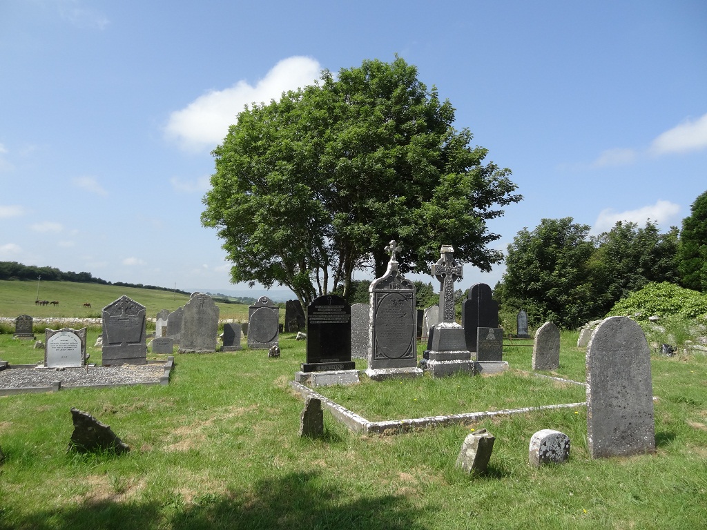 Enclosure in KilcolmanEnclosure · 834 yd