What is recorded here
Marked on an undated manuscript map (NLI: Ms. 21.F.43(5)) as a long boundary (L c. 500m), and situatued on an undulating landscape. A small section (L c. 100m) survives as a low gapped bank of small stones which does not conform to the present field pattern but is not necessarily ancient.
Compiled by: Michael Moore
Date of upload: 24 August 2010
The monument record does not grant public access. Check the route and ask the landowner before entering private land.
- What survives
- Recorded monument
Places near here
 IndicatedField boundary · 133 yd
 Garrynagran FortFairy fort / stone ringfort · 798 yd
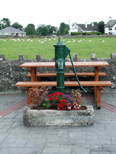 water pumpwater pump · 1.5 mi
 Inch IslandIsland · 1.5 mi
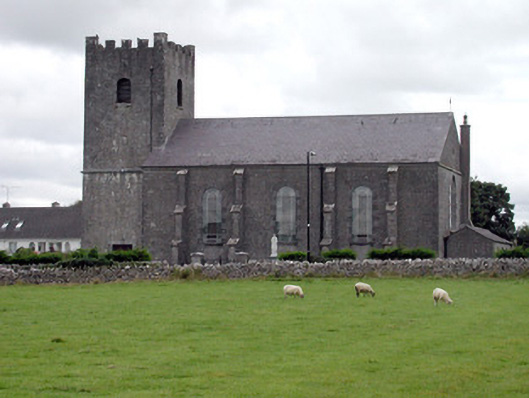 Saint Joseph's Catholic Churchchurch/chapel · 1.5 mi
 CastleCastle, unclassified · 2.0 mi
 Inchnaveague IslandIslet · 2.8 mi
 Killeglan CastleCastle, unclassified · 4.2 mi
 Sheep HillMountain / peak · 4.8 mi
 LismoneyForest · 5.4 mi
 Aughrane WoodsForest · 6.5 mi
 Mount MaryMountain / peak · 9.6 mi