What is recorded here
Lackavane holds a thirty-metre stone ribbon beside Lough Narman, marking the exact edge where human order stopped and wild terrain began. The double line of large rocks still stands proud enough to touch, yet it has collapsed into bog and grazing land. Someone placed those heavy stones deliberately on a south-facing hillside, drawing a visible limit before the craggy darkness took over. That much is written in the stones themselves.
This monument was reported to the Archaeological Survey of Ireland by Tony Miller on 4 September 2013. He describes it as follows:
"A section of collapsed relict field boundary within an area of bog and rough grazing on a south facing hillside. It is not far from the summit of Conigar and to the east of Lough Narman.
The field boundary is c. 30m in length, runs northwest-southeast and is c. 1.5m in width and up too 0.4m in height. It is well made with a double line of large rocks. It is sited at the top of an area of rough grazing before the terrain becomes very broken and craggy."
Compiled by: Denis Power
Date of upload: 16 September 2013
The monument record does not grant public access. Check the route and ask the landowner before entering private land.
- What survives
- Recorded monument
Places near here
 Hut site in Curraglass (bantry By.)Hut site · 720 yd
 FoilastookeenMountain / peak · 892 yd
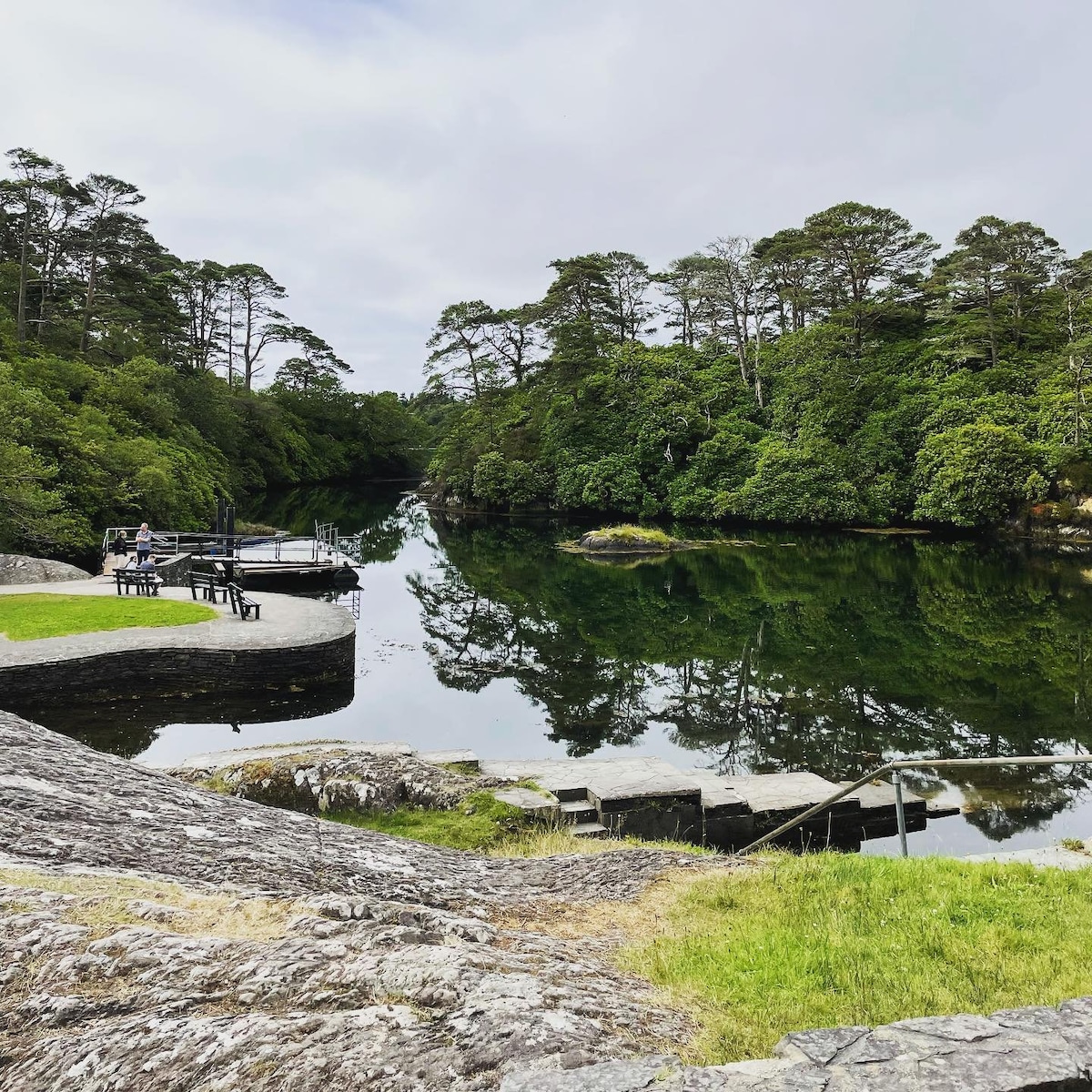 Enclosure in Lackavane (bantry By.)Enclosure · 1520 yd
 Aireagal Naomh Finbarr [Saint Finbarr's Oratory]church/chapel · 1.7 mi
 European ashEuropean ash · 1.7 mi
 Gougane BarraValley and heritage place · 1.7 mi
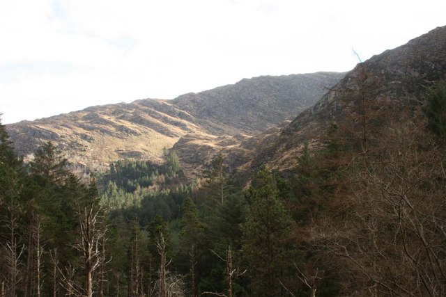 BealickMountain / peak · 1.8 mi
 Clapper bridge in Ros An LochaClapper bridge · 2.0 mi
 CaoinkeenCliff · 4.0 mi
 St Finbarr's Pilgrim RouteWalking route · 4.5 mi
 Carriganass CastleCastle · 4.8 mi
 The Priests LeapViewpoint · 5.9 mi