What is recorded here
In tillage, adjacent to dried up lough to E, cropmark of curved ditch visible SSW->N (dims. c. 72.5m N-S). visible on Apple Maps imagery.
Compiled by: Matt Kelleher based on details provided by Jean-Charles Caillère
See attached image
Date of upload/revision: 05 April 2022
The monument record does not grant public access. Check the route and ask the landowner before entering private land.
- What survives
- Recorded monument
Places near here
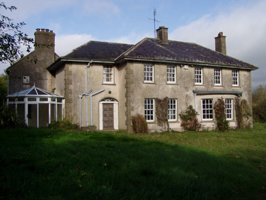 The Glenhouse · 603 yd
 Holy well in KilluraghHoly well · 609 yd
 IndicatedKiln, lime · 862 yd
 Field system in KilluraghField system · 1026 yd
 Monanimy CastleCastle, tower house · 1.5 mi
 Killavullen CavesCave · 1.6 mi
 Cave in BallymacmoyCave · 1.6 mi
 Carrig Castle (in Ruins)Castle, tower house · 1.7 mi
 Killavuleen LOOPVisitor information · 1.9 mi
 Anne's Grove GardensHeritage attraction · 3.3 mi
 Blackwater (Avondhu) WayWalking route · 5.2 mi
 Knocknaskagh North TopMountain / peak · 5.3 mi