What is recorded here
This bank and ditch runs across the narrowest part of the island in a northwest to southeast direction. It consists of an earthen bank, averaging 0.8m in height and 2m wide. Remains of a stone revetment occur on the northern face of this bank, comprising roughly coursed stones. This revetment occurs only on the portion of the bank closest to the eastern side of the island. A 1.m wide ditch occurs on the northern side of the bank, the base of which is a maximum of 1.2m below the crest of the bank. A second 2m wide earthen bank occurs on the northern side of the ditch, and attains a maximum height of 0.40m.
Compiled by: Frank Coyne and Tracy Collins
Date of upload: 30 May 2017
The monument record does not grant public access. Check the route and ask the landowner before entering private land.
- What survives
- Recorded monument
Places near here
 Enclosure in Inis Mhic AoibhleáinEnclosure · 64 yd
 Promontory fortPromontory fort, coastal · 210 yd
 Inis Mhic UileáinIsland · 460 yd
 Church in Inis Mhic AoibhleáinChurch · 639 yd
 Rinn Chuas an ÉinHeadland · 1116 yd
 Inis na BróIslet · 1385 yd
 Inishtearaght LighthouseLighthouse · 2.8 mi
 An Cró MórMountain / peak · 3.6 mi
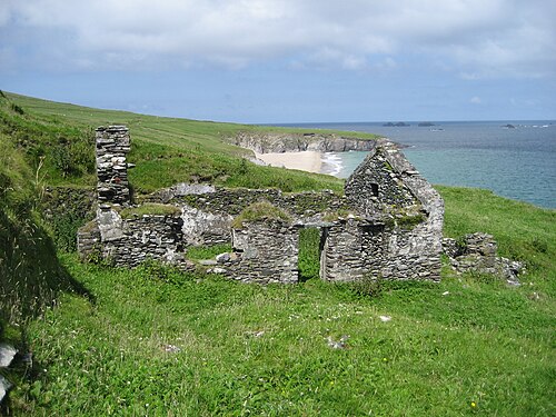 An Blascaod MórIsland · 4.3 mi
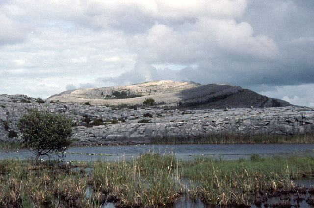 An Mullach RamharMountain / peak · 4.3 mi
 An Dún MórHeadland · 7.1 mi
 Dunmore HeadViewpoint · 7.1 mi