What is recorded here
Gort An Phludaigh holds a collapsed stone wall, barely sixty centimetres high, meandering east-west through blanket bog between two reclaimed fields. Turf cutting exposed the boundary, revealing a line that once divided human use from wild bog. The wall disappears into a turf bank to the west, suggesting the field edge still exists beneath the surface. A circular enclosure and standing stone sit nearby, marking the area as a place where people shaped the landscape before the bog swallowed the evidence.
In blanket bog between two pieces of reclaimed bogland containing circular stone enclosure (CO080-022----) and standing stone (CO080-021----), to N and S, respectively. Collapsed stone wall (H 0.6m), exposed due to turf cutting, meanders in a general E-W direction and disappears into turf bank to W.
The above description is derived from the published 'Archaeological Inventory of County Cork. Volume 3: Mid Cork' (Dublin: Stationery Office, 1997). In certain instances the entries have been revised and updated in the light of recent research.
Date of upload/revision: 14 January 2009
The monument record does not grant public access. Check the route and ask the landowner before entering private land.
- What survives
- Recorded monument
Places near here
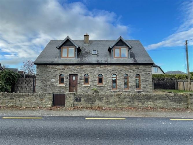 Enclosure in Gort An PhludaighEnclosure · 79 yd
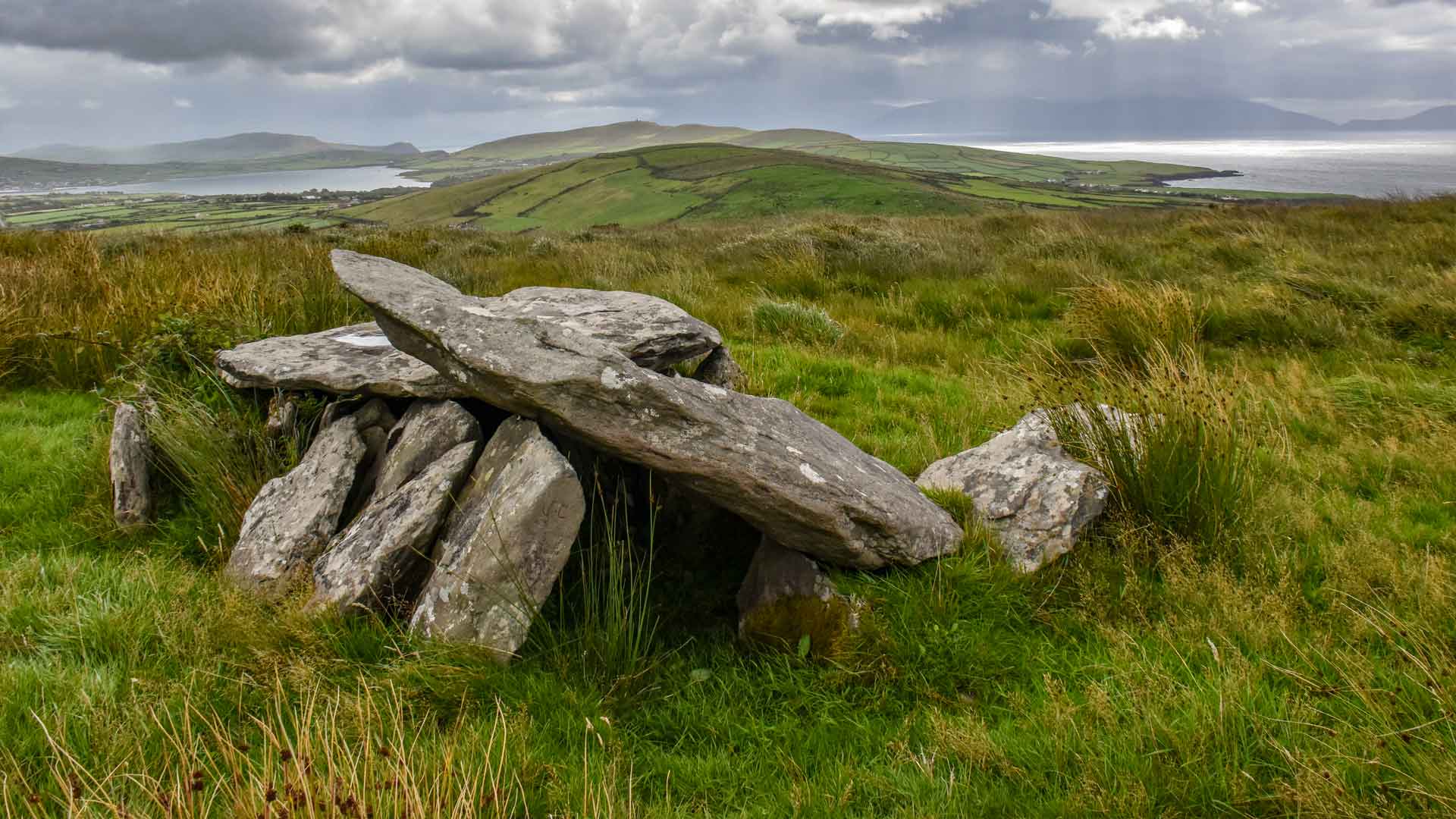 Wedge tomb in Gort An PhludaighWedge tomb · 783 yd
 Clapper bridge in Ros An LochaClapper bridge · 1.1 mi
 Gougane BarraValley and heritage place · 1.3 mi
 Aireagal Naomh Finbarr [Saint Finbarr's Oratory]church/chapel · 1.4 mi
 European ashEuropean ash · 1.4 mi
 Doughill MountainMountain / peak · 2.3 mi
 FoilastookeenMountain / peak · 2.5 mi
 Sli Gaeltacht MuscraiWalking route · 4.7 mi
 CaoinkeenCliff · 6.2 mi
 St Finbarr's Pilgrim RouteWalking route · 6.7 mi
 Kilgarvan Motor MuseumMuseum · 6.7 mi