What is recorded here
In rough pasture, on a NE-SW terrace, on a SE-facing slope at the foot of a rocky NE-SW ridge. A network of collapsed, relict, stone field boundaries (T 0.6m; H 0.3m) which protrude from shallow peat occur in a roughly rectangular area (c. 200m NE-SW x c. 60m NW-SE). The network consists of discontinuous stretches of both linear and curvilinear boundaries.
The above description is derived from 'The Archaeological Inventory of County Cork. Volume 5' (Dublin: Stationery Office, 2009).
Date of upload: 22 December 2009
The monument record does not grant public access. Check the route and ask the landowner before entering private land.
- What survives
- Recorded monument
Places near here
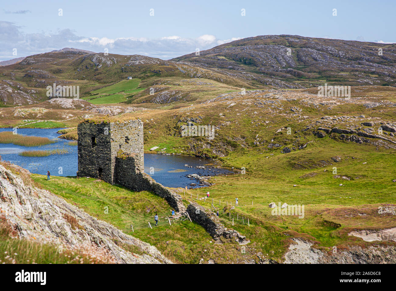
 Three Castles (in Ruins)Castle, tower house · 422 yd
 Dunlough CastleHeritage attraction · 425 yd
 Hut site in DunloughHut site · 553 yd
 CairnCairn, unclassified · 576 yd
 IndicatedBawn · 766 yd
 RoadRoad, road/trackway · 900 yd
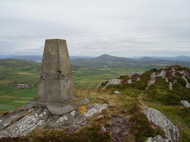 Mizen PeakMountain / peak · 1.5 mi
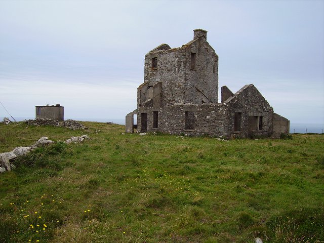 Cloghane Signal Towersignal tower · 1.8 mi
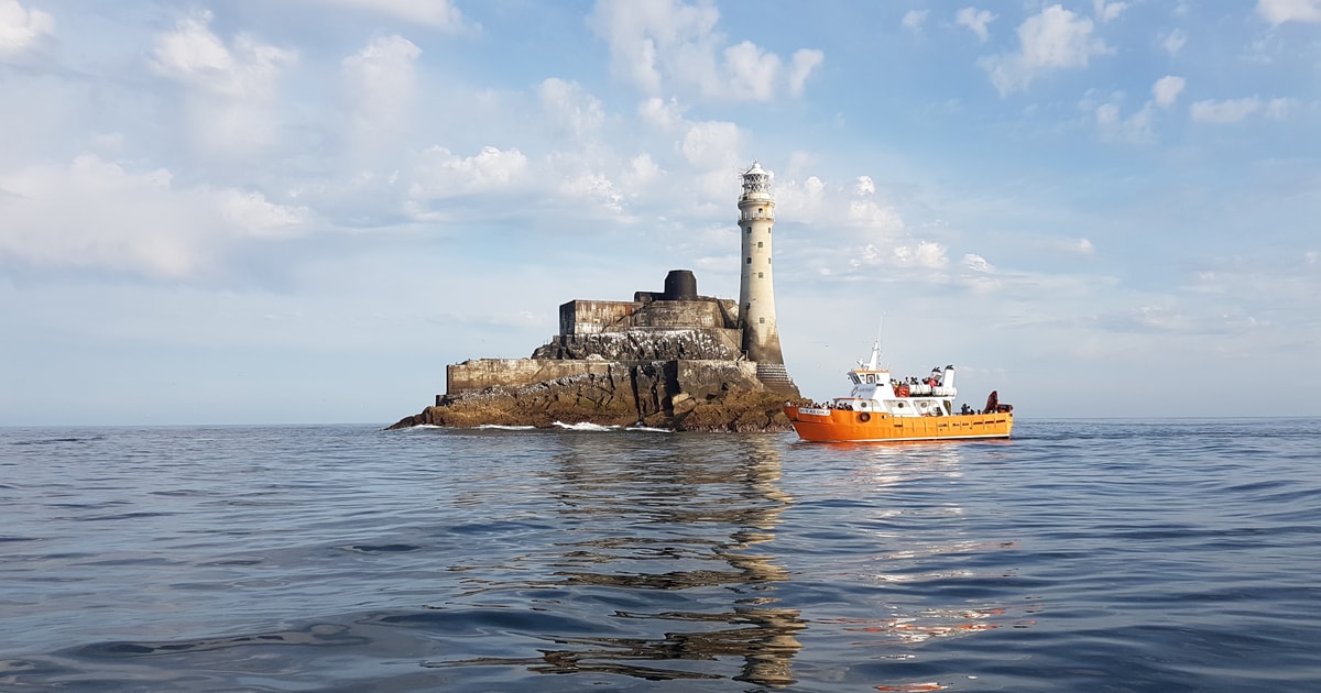 Fastnet Lighthouse Centenary Stone-CourseMemorial · 2.0 mi
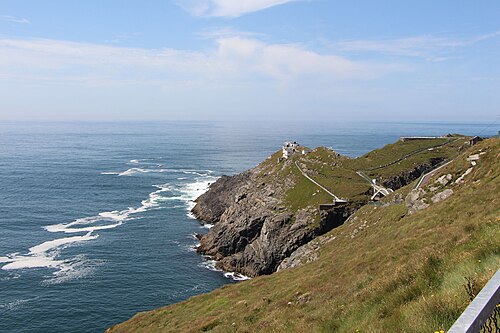 Mizen HeadHeadland · 2.0 mi
 Chimney CoveBeach / strand · 2.6 mi
 Creamery PlatformMemorial · 2.6 mi