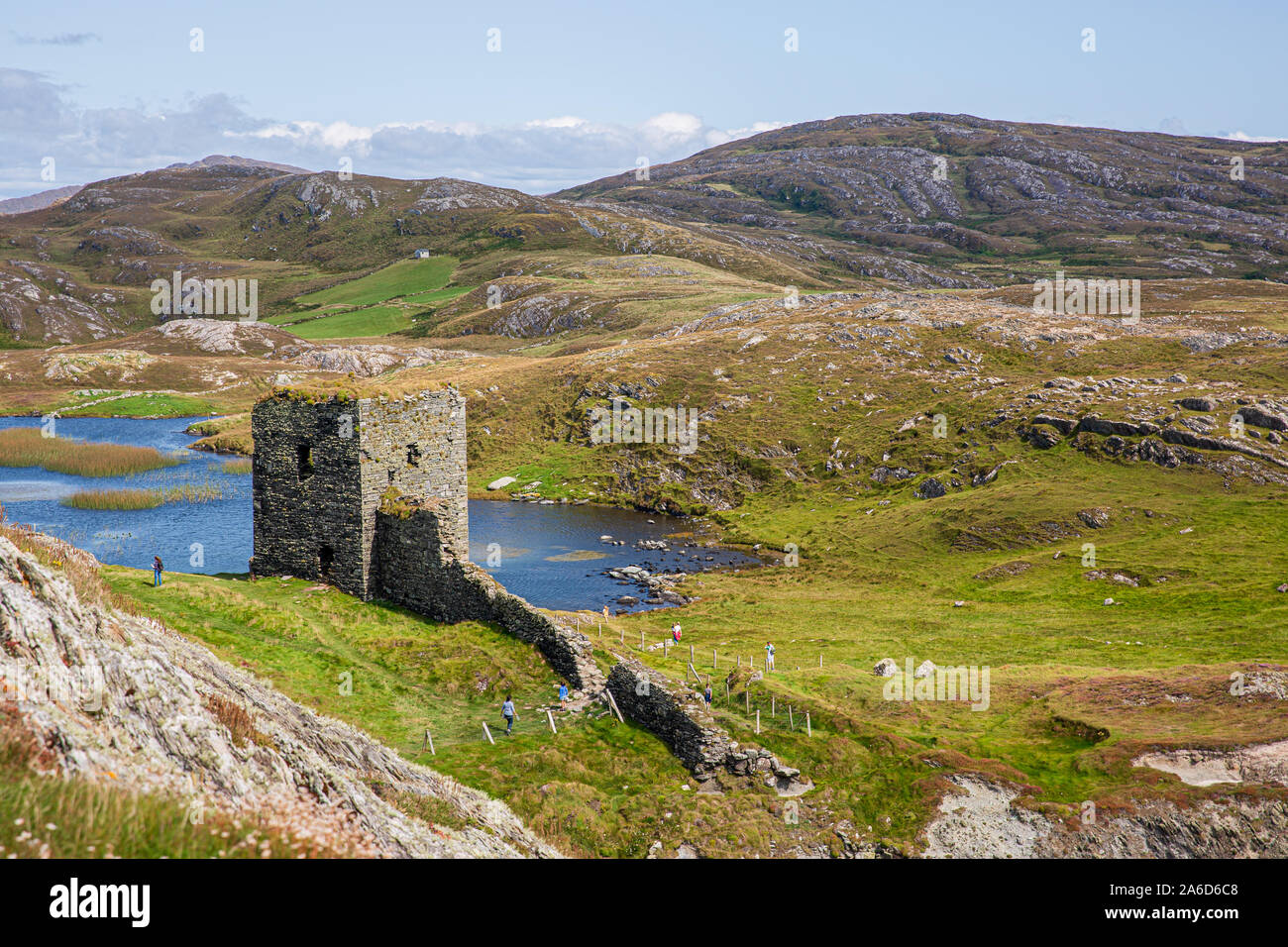
What is recorded here
This cairn is located on the highest point of a NE-SW rocky ridge, to the NE of Three Castle Head with a commanding view in all directions. A roughly cone-shaped cairn (1.8m N-S; 1.75m E-W; H 1.15m) that consists of mainly medium-sized stones. Traces of a kerb protrude from the shallow peat along the SW and NE arcs and may indicate the original cairn. Visitors to the site have rebuilt the upper portion of the cairn in recent times.
The above description is derived from 'The Archaeological Inventory of County Cork. Volume 5' (Dublin: Stationery Office, 2009).
Date of upload: 22 December 2009
A roughly cone-shaped cairn, likely dating to the Neolithic or early Bronze Age, situated on a prominent ridge, suggesting a possible funerary or ceremonial function. Its strategic location indicates it may have had wider ritual or territorial significance.
The monument record does not grant public access. Check the route and ask the landowner before entering private land.
- What survives
- Recorded monument
Places near here
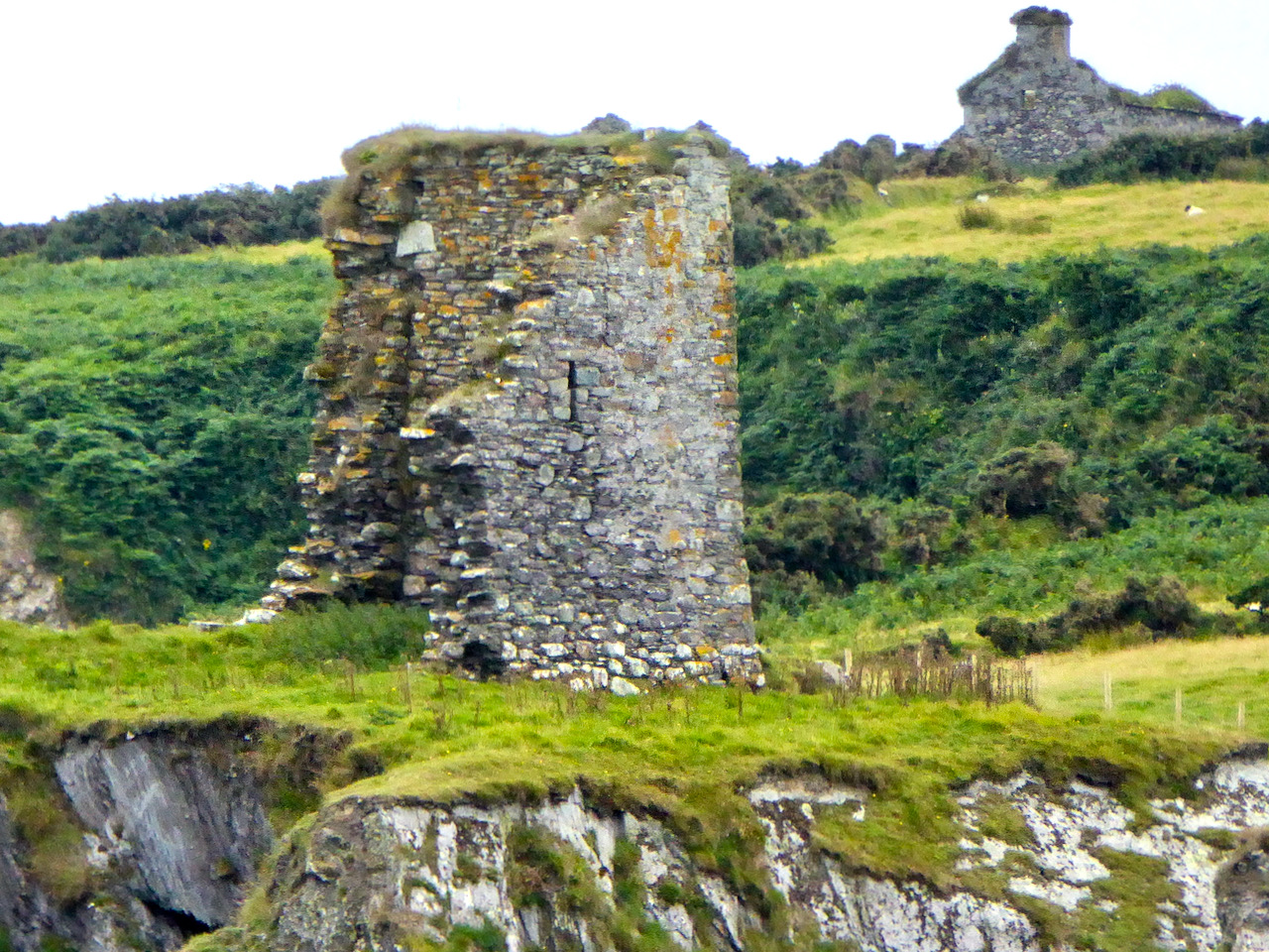 Promontory fortPromontory fort, coastal · 45 yd
 Three Castles (in Ruins)Castle, tower house · 199 yd
 Dunlough CastleHeritage attraction · 214 yd
 IndicatedBawn · 564 yd
 Hut site in DunloughHut site · 625 yd
 RoadRoad, road/trackway · 940 yd
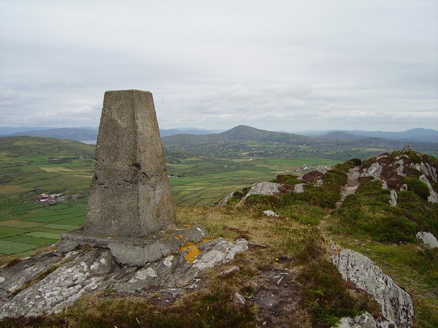 Mizen PeakMountain / peak · 1.9 mi
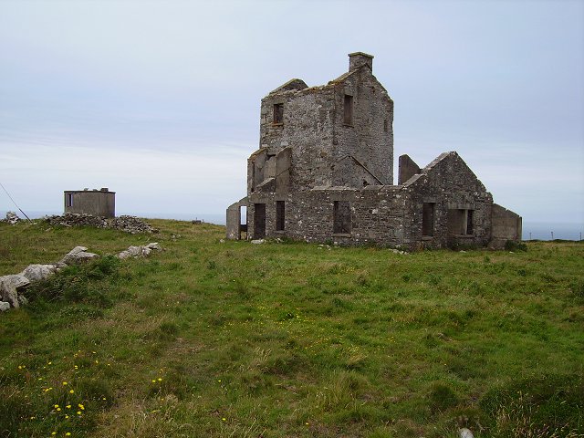 Cloghane Signal Towersignal tower · 2.1 mi
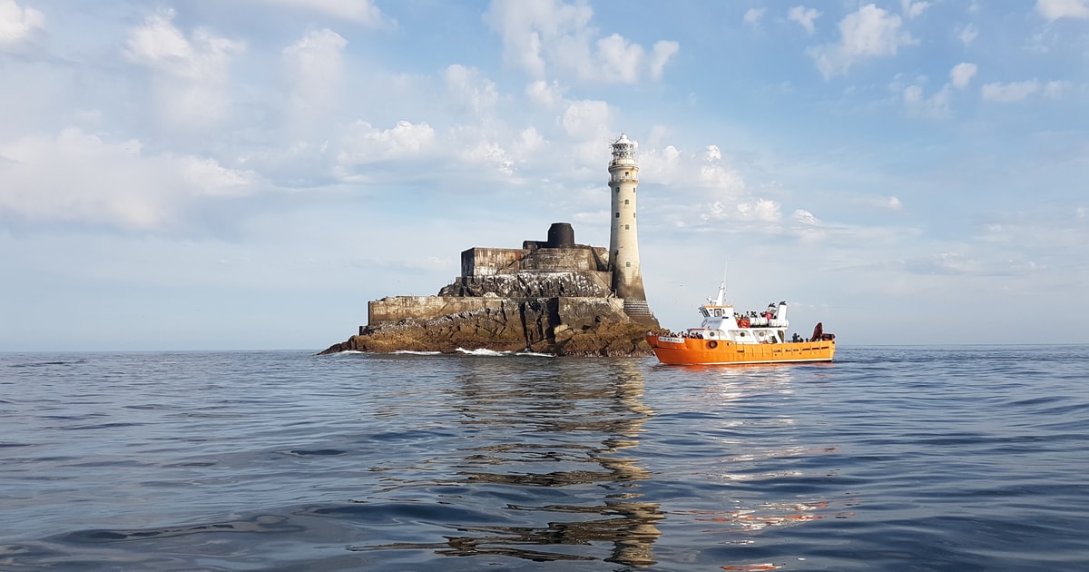 Fastnet Lighthouse Centenary Stone-CourseMemorial · 2.3 mi
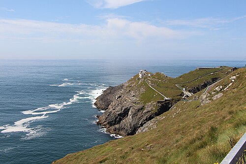 Mizen HeadHeadland · 2.4 mi
 Creamery PlatformMemorial · 2.8 mi
 Chimney CoveBeach / strand · 2.8 mi
Other information
Photo: Credit not shown in the picture search · Rights wording not checked; contact us if this picture should be removed