
What is recorded here
In rough pasture, on a NE-facing slope, near a cliff-top on the NE side of Clear Island. The remains of a curvilinear, relict, stone field boundary (L c. 35m) aligned NW-SE which consists of irregularly spaced, mainly upright, stone slabs (max. H 0.9m; max. L 0.7m; max. T 0.4m) that are set at right angles to the line of the wall. Spaces that occur between the slabs appear to be the result of the removal of smaller stones which were in turn probably used to construct the nearby stone field boundaries to the SW. A cupmarked stone (CO153-034002-) found at this location is now in the Heritage Centre in Lissamona (CO153-042----).
The above description is derived from 'The Archaeological Inventory of County Cork. Volume 5' (Dublin: Stationery Office, 2009).
Date of upload: 22 December 2009
The monument record does not grant public access. Check the route and ask the landowner before entering private land.
- What survives
- Recorded monument
Places near here
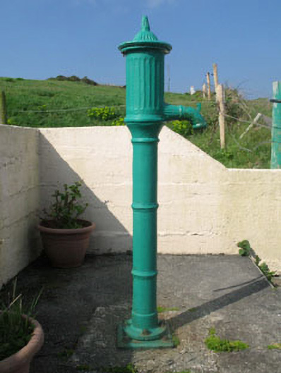 water pumpwater pump · 573 yd
 farm housefarm house · 764 yd
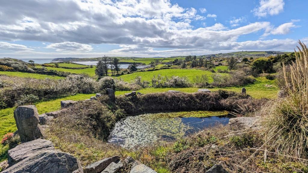 Man-made underground passage in Gort Na Lobhar (cléire)Man-made underground passage · 1116 yd
 Boulder-burial in Gort Na Lobhar (cléire)Boulder-burial · 1212 yd
 Oileán ÉinneIslet · 1341 yd
 Cape Clear MuseumMuseum · 1.2 mi
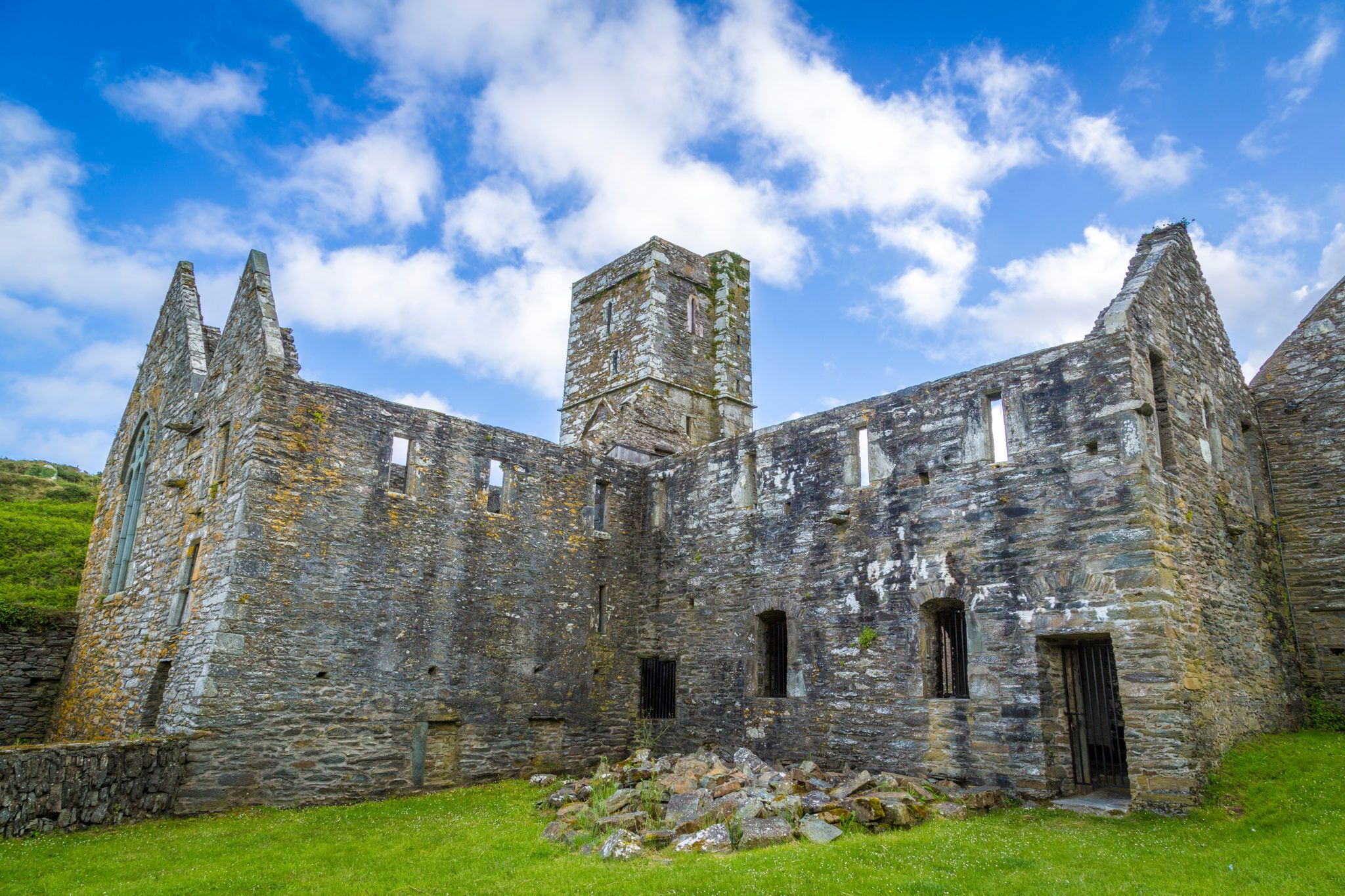 Sherkin PointHeadland · 1.3 mi
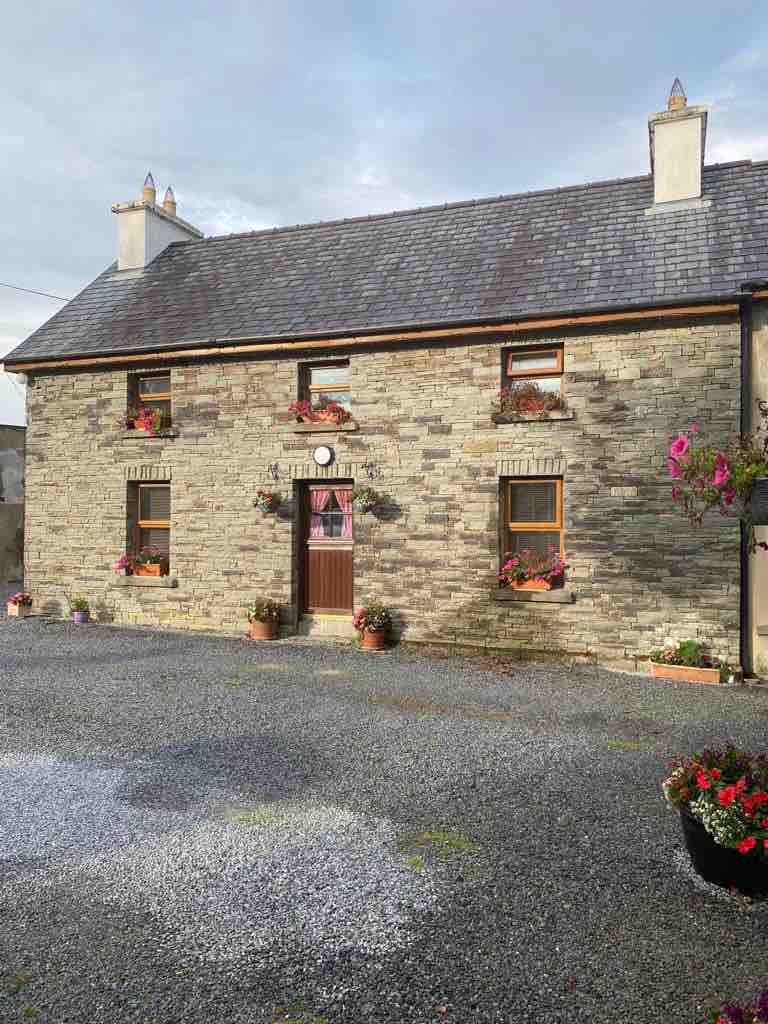 Hard StrandBeach / strand · 1.4 mi
 CléireIsland · 1.6 mi
 An Gleann LoopWalking route · 1.8 mi
 Trá CiaráinBeach / strand · 1.9 mi
 Oifig Fáilte Siopa CeirdVisitor information · 1.9 mi
Other information
Photo: Credit not shown in the picture search · Rights wording not checked; contact us if this picture should be removed