What is recorded here
In rough pasture, on a NE-facing slope, adjacent to a field boundary (CO153-034001-) on the NE side of Clear Island. This monument constitutes the site of a cupmarked stone. The stone was moved to its present location (CO153-042----) in the Heritage Centre in Lios Ó Móine for safe keeping and is now on display there.
The above description is derived from 'The Archaeological Inventory of County Cork. Volume 5' (Dublin: Stationery Office, 2009).
Date of upload: 22 December 2009
The monument record does not grant public access. Check the route and ask the landowner before entering private land.
- What survives
- Recorded monument
Places near here
 Field boundary in Comalán (cléire)Field boundary · 1 yd
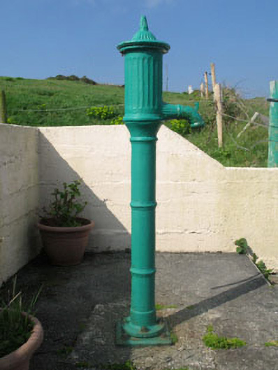 water pumpwater pump · 573 yd
 farm housefarm house · 764 yd
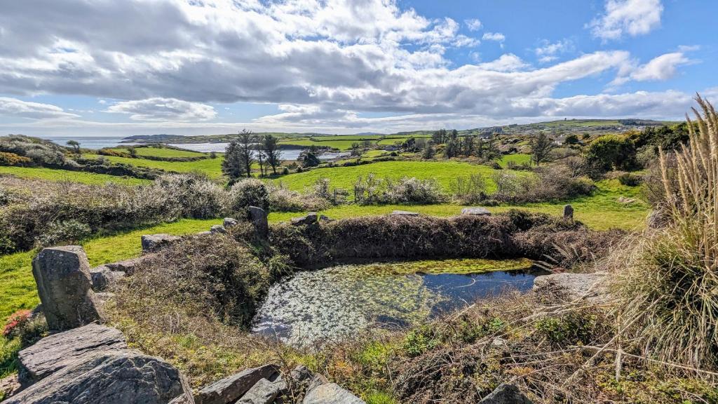 Man-made underground passage in Gort Na Lobhar (cléire)Man-made underground passage · 1116 yd
 Oileán ÉinneIslet · 1341 yd
 Cape Clear MuseumMuseum · 1.2 mi
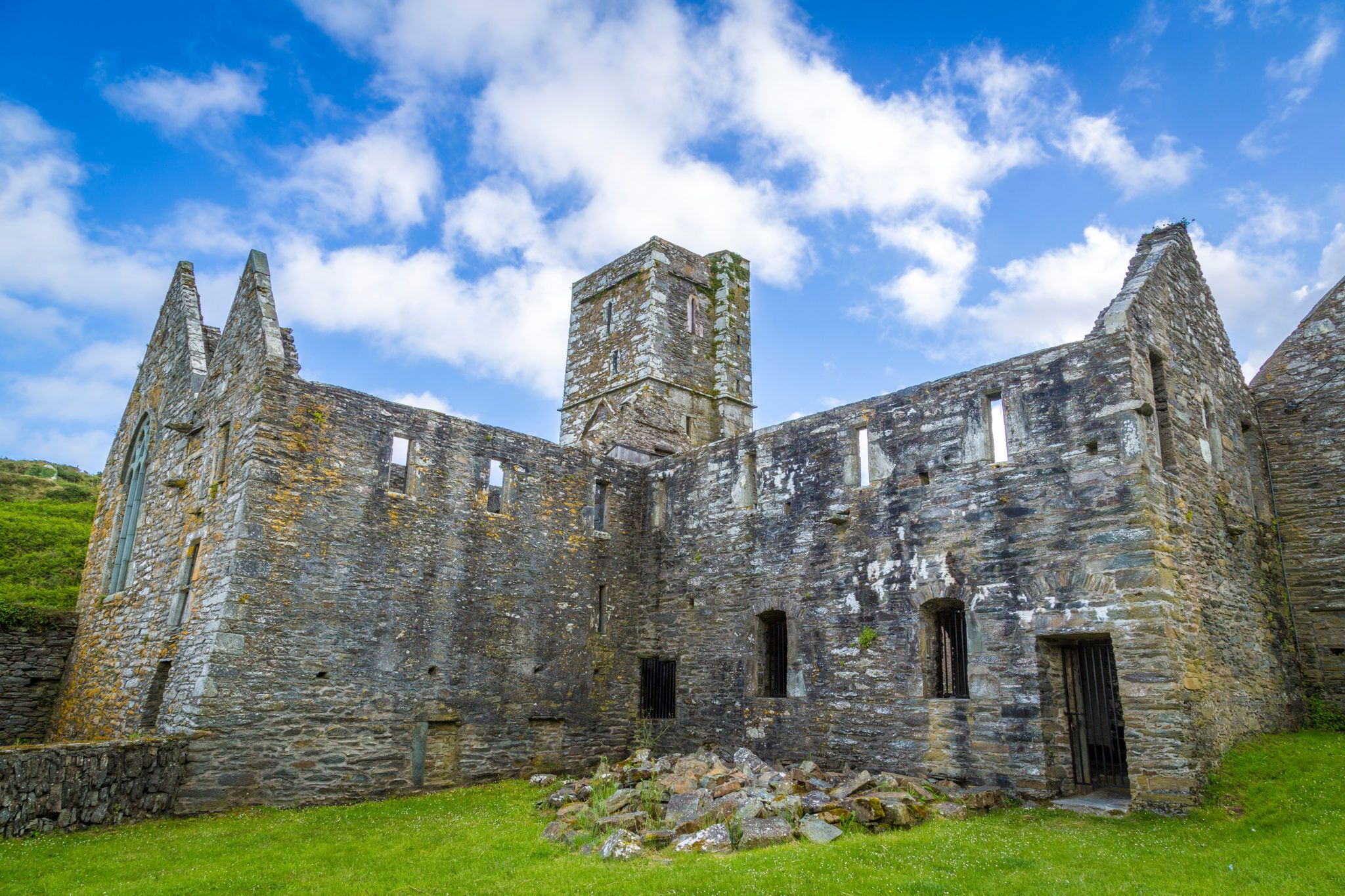 Sherkin PointHeadland · 1.3 mi
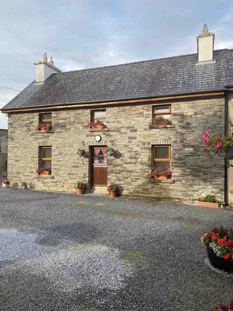 Hard StrandBeach / strand · 1.4 mi
 CléireIsland · 1.6 mi
 An Gleann LoopWalking route · 1.8 mi
 Trá CiaráinBeach / strand · 1.9 mi
 Oifig Fáilte Siopa CeirdVisitor information · 1.9 mi