
What is recorded here
Turf cutters on the Mizen Head slope chipped away bog and revealed a forgotten grid of stone fields, their walls no higher than a knee but still sharp against the black earth. The boundaries cut across heather and gorse like a buried map, waiting for human hands to pull them from the mud. Some stones reappeared in tidy turf stacks, turned from field markers into useful ledges. The land kept its shape long after people stopped naming the rooms.
In rough pasture interspersed with heather and gorse, in an area of cutaway bog, on a S-facing slope to the E of Mizen Head. Turf-cutting has exposed a network of collapsed, relict, stone field boundaries (max. T 0.6m; max H 0.5m) in a roughly rectangular area (c. 160m N-S x c. 130m E-W). The relict boundaries are set on the underlying mineral soil. Many stones protrude above the remaining shallow bog cover. Some of the stones taken from the relict boundaries have been reused to make turf stands along the walls for stacking turf.
The above description is derived from 'The Archaeological Inventory of County Cork. Volume 5' (Dublin: Stationery Office, 2009).
Date of upload: 22 December 2009
The monument record does not grant public access. Check the route and ask the landowner before entering private land.
- What survives
- Recorded monument
Places near here
 Enclosure in Cloghane (carbery W. (w.d.) By.)Enclosure · 195 yd
 Field boundary in Cloghane (carbery W. (w.d.) By.)Field boundary · 373 yd
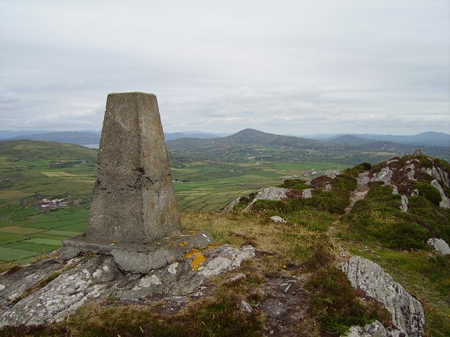 Mizen PeakMountain / peak · 382 yd
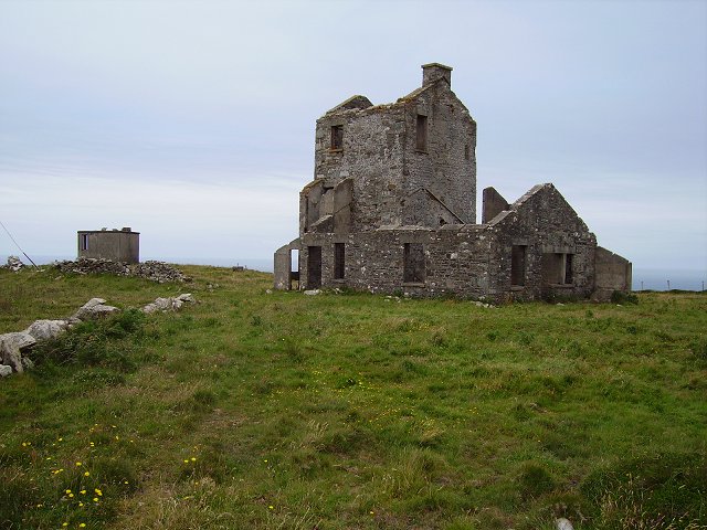 Cloghane Signal Towersignal tower · 626 yd
 Mizen Head Visitors CentreHeritage attraction · 961 yd
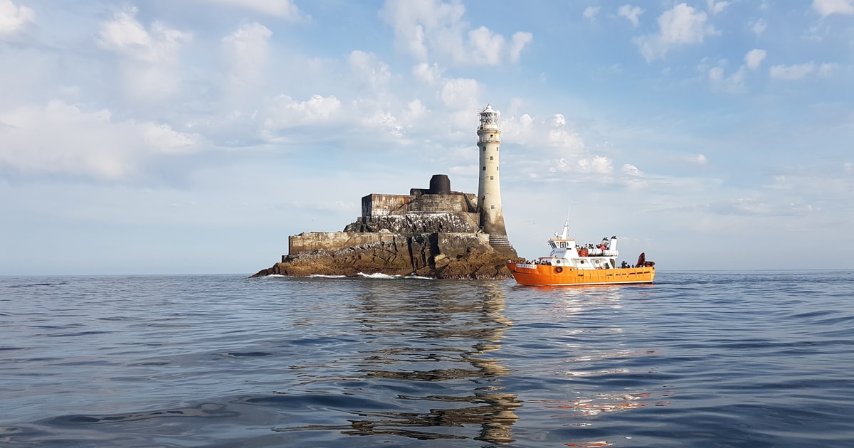 Fastnet Lighthouse Centenary Stone-CourseMemorial · 1037 yd
 Mizen Bridgefoot bridge · 1149 yd
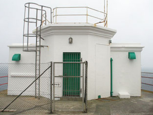 Mizen Head Signal Stationsignal tower · 1349 yd
 Chimney CoveBeach / strand · 1.7 mi
 Three Castles (in Ruins)Castle, tower house · 1.8 mi
 Castle (Site of)Castle, unclassified · 1.9 mi
 Creamery PlatformMemorial · 2.2 mi
Other information
Photo: Credit not shown in the picture search · Rights wording not checked; contact us if this picture should be removed