What is recorded here
This record refers to field boundary which was noted in this area in the early 1990’s. It was listed in the RMP (1995) as ‘field wall’, with a centre point at IG 139050 331420 (approximately ITM 539014 831426): the source of this record is unknown and there is no field report from the 1990’s on file. The constraint area as defined in the RMP (1995) encompasses a broad, relatively level expanse of blanket bog straddling the junction of three townland, Camcuill, Owenbeg and Bellafarney. A stream flows N through the W half of the area. The N third of the area is under coniferous plantation. The southern two thirds of the area are covered in low heather, sedge and bog grasses, broken by occasional sphagnum pools and old bog cuttings. An inspection on 30th May 2014 found no trace of the field wall within the area of open bog. The density of trees and ground litter made an effective inspection impossible within the area under forestry. The exact location of the field wall remains unknown.
Compiled by: Jane O'Shaughnessy
Date of upload: 14 August 2014
The monument record does not grant public access. Check the route and ask the landowner before entering private land.
- What survives
- Recorded monument
Places near here
 IndicatedFairy fort / earthen ringfort · 371 yd
 Camphill Househouse · 426 yd
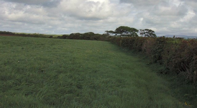 Field boundary in BellafarneyField boundary · 1229 yd
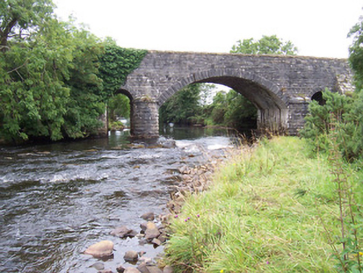 bridgebridge · 1293 yd
 Ballynahowna CastleCastle, tower house · 1.1 mi
 CastleCastle, motte · 1.6 mi
 Split RockNamed rock · 2.7 mi
 DonaghHeadland · 3.6 mi
 Jim Smith MemorialMemorial · 3.9 mi
 Wild Atlantic Way: Easky PierVisitor information · 4.0 mi
 Wild Atlantic Way: Inishcrone PierVisitor information · 6.8 mi
 Grave of the Black PigArchaeological place · 6.9 mi