
What is recorded here
From the National Monuments Service (Archaeological Survey of Ireland) record KE070-007
Places near here
Photo credits
- Maker not stated on source page, www.flickr.com
- Maker not stated on source page, www.alamy.com
- Maker not stated on source page, account.travel
- Maker not stated on source page, commons.wikimedia.org
- Discover Ireland (individual photographer not stated), Discover Ireland
- Colin Park, Geograph · CC BY-SA 2.0
- Josh Jackson, Wikimedia Commons · CC BY 2.0
- photo taken by SteffenMP ( de:Benutzer:SteffenMP ), Wikimedia Commons · CC BY-SA 3.0
- Rod Allday, Geograph · CC BY-SA 2.0
 Enclosure in BoulerdahEnclosure · 275 yd
Explorer Tom Enclosure in Boulerdah is up on Meelin, reviewing its visitors with the silence of a disappointed parent. It’s got…
Fairy fort / earthen ringfort in CahernamanFairy fort / earthen ringfort · 390 ydExplorer Tom This giant bivallate rath in Cahernaman thinks Dublin tourists are just noisy goats in fancy clothes. It overlooks the…
Fairy fort / stone ringfort in CahernamanFairy fort / stone ringfort · 571 ydExplorer Tom Fairy fort / stone ringfort in Cahernaman is like that uncle at the wedding who ate all the canapés and left only…
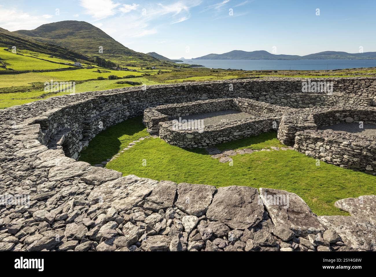 Enclosure in Boulerdah,reacaslagh (iveragh By.)Enclosure · 863 yd
Explorer Tom Enclosure in Boulerdah, Reacaslagh actually means 'The Place Where My Uncle Dropped His Sandwich.' I made that up…
 Standing stone in KnockaneyoulooStanding stone · 1384 yd
Explorer Tom Standing stone in Knockaneyouloo is stuck in a field boundary like a stubborn toothpick. It’s been there since the…
 Fairy fort / earthen ringfort in BoulerdahFairy fort / earthen ringfort · 1636 yd
Explorer Tom Fairy fort / earthen ringfort in Boulerdah once hosted a dramatic argument between two goats over a turnip. The turnip…
 Graveyard in CaherlehillanGraveyard · 1.0 mi
Explorer Tom Graveyard in Caherlehillan thinks the road leading to it is rude for not having better potholes. It has eighteen graves…
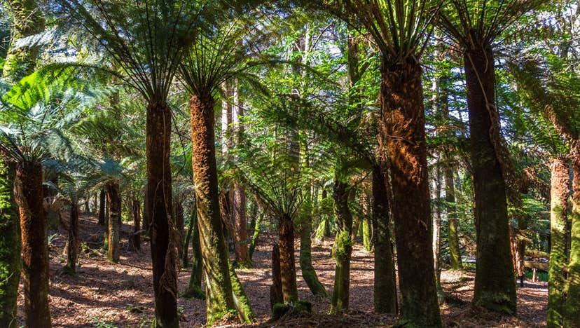 Kells Bay GardensGarden · 1.7 mi
Explorer Tom Kells Bay Gardens rises above Dingle Bay with palms, bamboo and tree ferns so exuberant that Kerry briefly looks as if…
 Kells Mtn East TopMountain / peak · 1.7 mi
Explorer Tom Kells Mtn East Top in Kerry has a secret it would tell after a few pints: it’s actually two mountains pretending to be…
 Soft Tree-fern1.8 mi
Explorer Tom This Soft Tree-fern in County Kerry would spend its lotto win on a very expensive haircut. It thinks it’s the main…
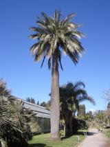 Chilean wine palm1.8 mi
Explorer Tom Chilean wine palm in County Kerry made the map makers look foolish because they forgot to check if it actually grew…
 Kells BeachBeach / strand · 2.0 mi
Explorer Tom Kells Beach tucks a sandy crescent beside a small harbour on the northern edge of Kerry's Iveragh Peninsula, and Tom…
More archaeology and monuments in County Kerry · All of County Kerry

What do you know about this place?Tap to add a comment or ask a question