What is recorded here
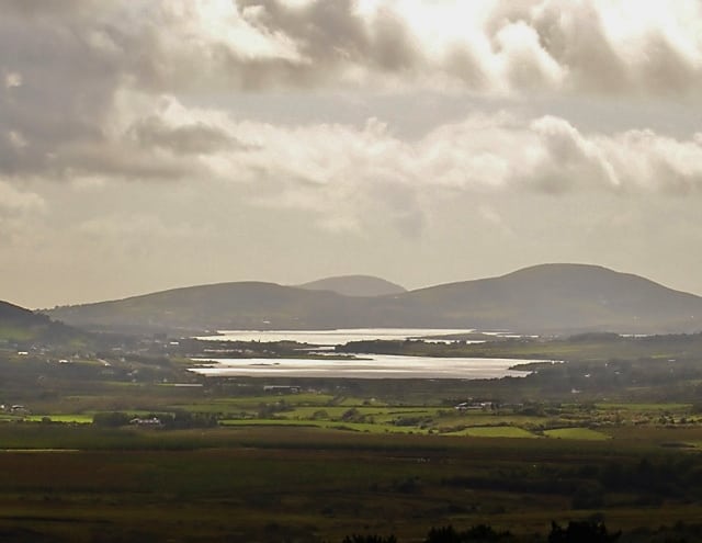
Cahearnaman stood as a rough stone ringfort with an inner hut and underground passage, but machinery levelled most of it in the early 1980s. A slight platform remains in sloping pasture above the Valencia estuary, preserving only the shadow of what Ua Riain measured in 1927. The loss is sudden and human, yet the view still carries the place forward.
Marked on the first edition of the OS map as an enclosure with an internal structure, this caher was levelled in the early 1980s. All that remains is a slight platform, 22m N-S, which is situated in gently sloping pasture with distant views of the Valencia river estuary at SW. Ua Riain described the site's enclosing rampart in 1927 as built of 'rough big unmortared stones' enclosing a circular space 92 feet (28m) in diameter. He also noted an 'inner ring', probably a hut-site (KE070-026001-), which measured 49 feet (14.9m) in overall diameter, and a mound, 15 yards (13.7m) from the caher, in which there was an opening to a Man-made underground passage (KE070-026002-).
The above description is derived from A. O'Sullivan and J. Sheehan (compilers), 'The Iveragh peninsula: an archaeological survey of South Kerry'. Cork University Press (1996), no. 640. In certain instances the entries have been revised and updated in the light of recent research.
Date of upload: 29 July 2013
The monument record does not grant public access. Check the route and ask the landowner before entering private land.
- What survives
- Recorded monument
Places near here
 Man-made underground passage in CahernamanMan-made underground passage · 19 yd
 Church in CaherlehillanChurch · 1268 yd
 SheepfoldHut site · 1556 yd
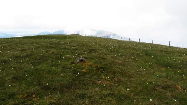 Been HillMountain / peak · 1.6 mi
 Soft Tree-fernSoft Tree-fern · 2.0 mi
 Chilean wine palmChilean wine palm · 2.0 mi
 Kells Mtn East TopMountain / peak · 2.1 mi
 Kells BeachBeach / strand · 2.2 mi
 Sheep Dog TrainingHeritage attraction · 2.7 mi
 Gleensk Viaductbridge · 2.7 mi
 FeaklecallyHeadland · 3.5 mi
 Mountain StageViewpoint · 3.7 mi