What is recorded here
Half a ring of earth stood in Parkalour when Ua Riain measured it in 1927, spanning fifty-three feet beside a smaller enclosure twenty-seven metres west. The eastern half has vanished without a surface trace, erasing the fort from modern maps and leaving only the western knob to mark the loss. Fairy forts keep their shapes through pride or neglect; this one surrendered to time, perhaps swallowed by ploughs, rain or forgotten hands.
Ua Riain recorded two 'lisses' in a field called 'Parkalour' (1927). Half of the E example was then extant and measured 53 feet (16.1m) in diameter. There is now no surface trace of this site, which is not marked on the OS maps. The second site, a small enclosure (KE070-110----), occurs 27.5m to W.
The above description is derived from A. O'Sullivan and J. Sheehan (compilers), 'The Iveragh peninsula: an archaeological survey of South Kerry'. Cork University Press (1996), no. 636. In certain instances the entries have been revised and updated in the light of recent research.
Date of upload: 29 July 2013
The monument record does not grant public access. Check the route and ask the landowner before entering private land.
- What survives
- Recorded monument
Places near here
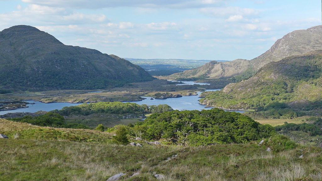 LisnalourFairy fort / earthen ringfort · 422 yd
 IndicatedFairy fort / earthen ringfort · 1604 yd
 Church in CaherlehillanChurch · 1.4 mi
 Kells Mtn East TopMountain / peak · 1.6 mi
 Kells MountainMountain / peak · 1.8 mi
 Soft Tree-fernSoft Tree-fern · 2.4 mi
 Chilean wine palmChilean wine palm · 2.4 mi
 Kells BeachBeach / strand · 2.5 mi
 Killinane Church (in ruins)Church · 2.9 mi
 Short Castle (Site of)Castle, unclassified · 3.0 mi
 Sheep Dog TrainingHeritage attraction · 3.4 mi
 FeaklecallyHeadland · 4.3 mi