What is recorded here
Not listed in the SMR (1989) but included in the RMP (1995) where it is classified as 'Field wall, possible'. The source of the original information for this record is uncertain. Leo Swan's 1983 'Landscape archaeology in Ireland' (ed. Reeves Smith and Hammond) BAR 116 has been checked and, apart from an aerial photograph of the site, nothing further was gleaned. This may be the dividing field wall within the ecclesiastical enclosure (SL020-171003-).
Compiled by: Archaeological Survey Unit, UCC with revisions by Patrick F. O'Donovan and Paul Walsh
Date of upload: 20 June 2011
The monument record does not grant public access. Check the route and ask the landowner before entering private land.
- What survives
- Recorded monument
Places near here
 Church in BallydawleyChurch · 15 yd
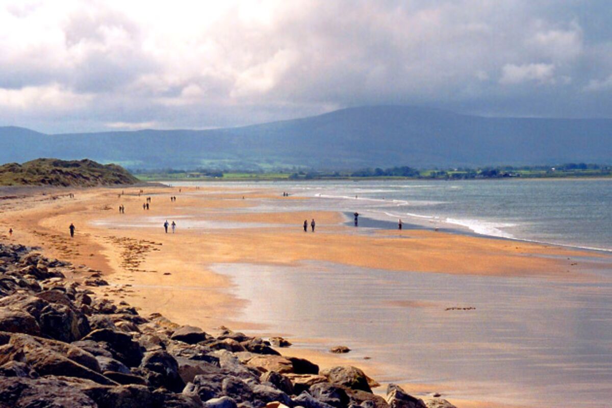 ToberdoneyHoly well · 122 yd
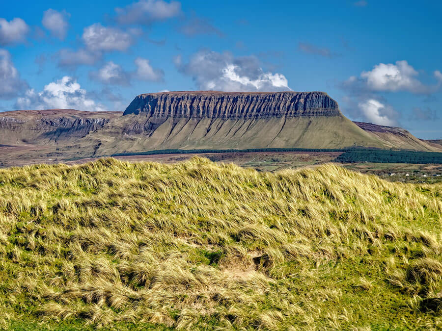 Man-made underground passage in BallydawleyMan-made underground passage · 482 yd
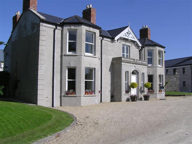 Castle Darganhouse · 1270 yd
 Union RockForest · 1.0 mi
 Castle (in Ruins)Castle, tower house · 1.3 mi
 CastleCastle, motte · 1.4 mi
 European ashEuropean ash · 1.6 mi
 Battle of Collooneybattle · 1.7 mi
 Teeling MonumentMemorial · 1.7 mi
 Giants GraveArchaeological place · 1.7 mi
 Aghamore BayBay · 2.8 mi