What is recorded here
Located at the NE end of Twomilestone ridge. First recorded by Davies (1942, 102, site ‘i’) who described the following feature: ‘At ‘i’, in a marshy hollow, are two rough blocks of weathered sandstone 1 ft. 11 ins. apart. The eastern is roughly pointed, the western flat-topped. They have no obvious purpose and are not in a field-wall.’ The two stones were recorded in the Archaeological Survey of County Donegal (Lacy et al. 1983, 154, no. 925) as follows: ‘Two very weathered blocks of limestone situated at the bar of the ridge, at its E end. These are possibly the remains of an old field boundary standing .58m apart, both are .9m in height. Isolated stones c. 300m to the SW may also have been incorporated originally in a field boundary.’ The location of the stones as shown on Davies’s map (1942, 99) places them at the base of the NE end of the ridge. An inspection of the area was undertaken in 2015 but no trace of the stones was found. It seems likely that the two stones were removed during land reclamation.
Compiled by: Jane O’Shaughnessy
Date of revised upload: 20 July 2016
The monument record does not grant public access. Check the route and ask the landowner before entering private land.
- What survives
- Recorded monument
Places near here
 Enclosure in ArdpattanEnclosure · 271 yd
 IndicatedCliff-edge fort · 422 yd
 Church in ArdgillewChurch · 1208 yd
 HawthornHawthorn · 1694 yd
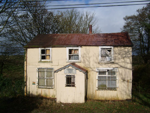 Cashelard Post Officepost office, house · 1.0 mi
 RossnowlaghOfficial bathing water · 2.4 mi
 Castle (Site of)Castle, unclassified · 2.5 mi
 St Anne's Church GraveyardGraveyard · 2.5 mi
 CastleCastle, unclassified · 2.5 mi
 Kilbarron Old Church GraveyardGraveyard · 2.7 mi
 Dark Cliffs at KilbarronPublicly named cliff or headland · 3.4 mi
 Wardtown StrandBeach / strand · 3.6 mi