
What is recorded here
Depicted as an embanked enclosure (ext. diam. c. 30m) on an 18th-century map (Kelly, M. J. 2000), and situated on level ground in Castlerea town on the N bank of the ESE-WNW Francis River just after it turns SW before joining a N-S section of the River Suck. The location is now occupied by the cattle mart or is on the present line of the river.
Compiled by: Michael Moore
Date of upload: 24 August 2010
A local fairy fort (ringfort/rath); wider significance not recorded.
The monument record does not grant public access. Check the route and ask the landowner before entering private land.
- What survives
- Recorded monument
Places near here
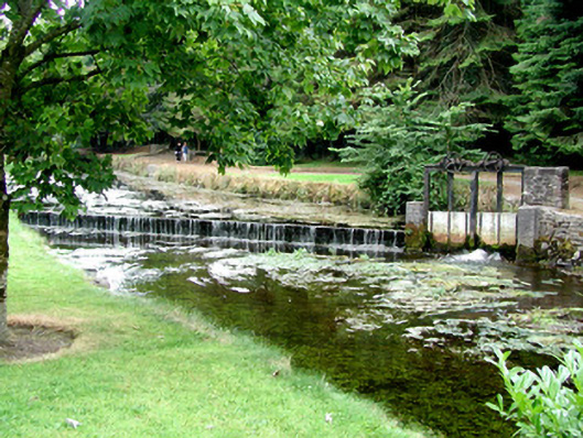 weirweir · 143 yd
 Castlerea Post Officepost office · 178 yd
 Castlereagh HouseCastle, unclassified · 232 yd
 IndicatedFairy fort / earthen ringfort · 654 yd
 Workhouse MemorialMemorial · 1059 yd
 CrossCross · 1307 yd
 Silver IslandIslet · 1.1 mi
 Clonalis HouseMuseum · 1.3 mi
 Coolougher WoodForest · 2.9 mi
 CastleCastle, Anglo-Norman masonry castle · 4.4 mi
 Druminagh WoodForest · 4.6 mi
 Rook HillMountain / peak · 7.8 mi
Other information
Photo: Credit not shown in the picture search · Rights wording not checked; contact us if this picture should be removed