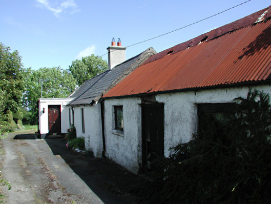
What is recorded here
Linear group of farm buildings, c.1820. Three-bay single-storey house with roughcast rendered walls, timber casement windows and a pitched slate roof with rendered chimney stack. Later flat-roofed porch extension. Three-bay single-storey former barn to south with roughcast rendered walls, timber windows and a corrugated iron roof. Four-bay dwelling to north with rendered, ruled and lined walls, timber casement windows and a pitched slate roof. Corrugated iron privy to rere.
This narrow row of buildings, in well-maintained grounds, is a good example of the evolution of vernacular dwellings, and remains relatively intact in its removed location. Historically important as the former site of a Farmers' Union meeting place. Forms a good group with the working farm to the south.
This does not grant access. Most recorded buildings are privately owned; view them only from public ground unless the owner allows entry.
Places near here
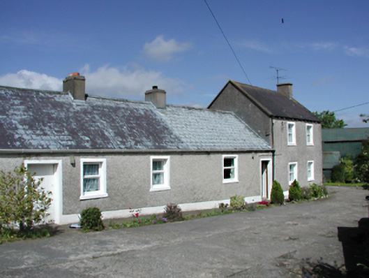 farmyard complexfarmyard complex · 49 yd
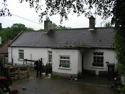 farm housefarm house · 103 yd
 KnockanteedanMound · 386 yd
 Slieve GorraMountain / peak · 1315 yd
 Cist in GlassamuckyCist · 1482 yd
 SlievenabawnogeMountain / peak · 1667 yd
 Ballinascorney WoodForest · 1669 yd
 Carty's CastleRuins · 1.0 mi
 Hellfire WoodForest · 1.1 mi
 Saint Ann's WellSpring · 1.2 mi
 Saint Ann's GraveyardRuins · 1.3 mi
 Dublin Mountains Way - Hellfire & Massey spurWalking route · 1.4 mi
Other information
Photo: National Inventory of Architectural Heritage · Website use allowed for educational or private purposes with source credit