What is recorded here
Situated on a N facing slope with extensive views to the E, N and W. In 1978 two burials were found during removal of topsoil from a quarry (Kelly 1987-8, 73). One was a crouched inhumation accompanied by a Food Vessel and contained within a trapezoidal cist. A sample of the bone produced a date of 3765+-BP which placed it in the early Bronze age (Kelly 1998, 113-116).
From the National Monuments Service (Archaeological Survey of Ireland) record DU025-057001
The monument record does not grant public access. Check the route and ask the landowner before entering private land.
- What survives
- Recorded monument
Places near here
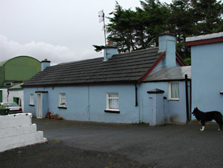 farm house230 yd
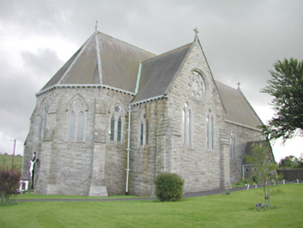 Saint Anne's Catholic ChurchChurch/chapel · 842 ydCarty's CastleRuins · 921 ydHellfire WoodForest · 1626 ydKnockanteedanMound · 1.0 mi
 Montpelier HillMountain / peak · 1.1 miWaterfall viewing pointHeritage attraction · 1.1 mi
_-_20180125125204.jpg/250px-County_Dublin_-_St_Colmcille's_Well_(Oldcourt)_-_20180125125204.jpg "Photo: Syncretists, Wikimedia Commons · CC BY-SA 4.0") St Columkilles WellHoly well · 1.2 miDublin Mountains Way - Hellfire & Massey spurWalking route · 1.4 miJim Lawlor Bridge PlaqueVisitor information · 1.4 mi
St Columkilles WellHoly well · 1.2 miDublin Mountains Way - Hellfire & Massey spurWalking route · 1.4 miJim Lawlor Bridge PlaqueVisitor information · 1.4 mi Massey WoodWood · 1.8 mi
 Black HillMountain / peak · 2.5 mi
Pictures: National Inventory of Architectural Heritage; Joe King, Wikimedia Commons · CC BY-SA 3.0; Syncretists, Wikimedia Commons · CC BY-SA 4.0; Alan James, Geograph · CC BY-SA 2.0; Jonathan Billinger, Geograph · CC BY-SA 2.0
More archaeology and monuments in County Dublin · All of County Dublin
What do you know about this place?