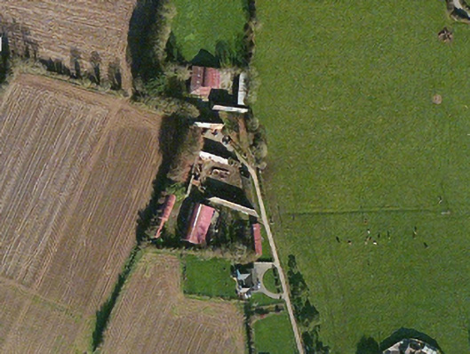
What is recorded here
Detached three-bay two-storey farmhouse, extant 1902, on a T-shaped plan centred on single-bay single-storey flat-roofed projecting porch to ground floor. Pitched slate roof with ridge tiles centred on red brick Running bond chimney stack having stringcourse below capping, and cast-iron rainwater goods on rendered eaves retaining cast-iron downpipes. Part creeper- or ivy-covered rendered walls. Hipped segmental-headed central door opening with timber mullions supporting timber transom, and concealed dressings framing timber panelled door having sidelights below overlight. Central door opening into farmhouse. Square-headed window openings with creeper- or ivy-covered sills, and concealed dressings framing six-over-six (ground floor) or three-over-six (first floor) timber sash windows. Set in courtyard.
A farmhouse representing an integral component of the nineteenth-century domestic built heritage of the outskirts of Campile with the architectural value of the composition, one abutting a thatched house marked on the first edition of the Ordnance Survey (surveyed 1840; published 1841), suggested by such attributes as the compact plan form centred on an expressed porch; the diminishing in scale of the openings on each floor producing a graduated visual impression; and the high pitched roof. Having been well maintained, the elementary form and massing survive intact together with substantial quantities of the original fabric, thus upholding the character or integrity of the composition. Furthermore, adjacent "tin roofed" outbuildings (----) continue to contribute positively to the group and setting values of a self-contained ensemble making a pleasing visual statement in a rural street scene.
From the Buildings of Ireland (National Inventory of Architectural Heritage) record 15703928
This does not grant access. Most recorded buildings are privately owned; view them only from public ground unless the owner allows entry.
Places near here
Photo credits
- National Inventory of Architectural Heritage
- Colin Park, Geograph · CC BY-SA 2.0
- Donald Hobern from Copenhagen, Denmark, Wikimedia Commons · CC BY 2.0
- Oliver Dixon, Geograph · CC BY-SA 2.0
- Dr Charles Nelson, Wikimedia Commons · CC BY-SA 2.0
- Mike Searle, Geograph · CC BY-SA 2.0
- John Myers, Geograph · CC BY-SA 2.0
 kiln242 yd
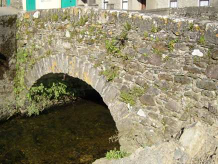 Campile BridgeBridge · 1029 yd
 Campile WWII Bombing MemorialMemorial · 1278 ydSt. Bridgets WellHoly well · 1704 ydFulacht FianFulacht fia · 1.1 miDunbrody Abbey Visitor CentreHeritage attraction · 1.1 miArboretum MapVisitor information · 1.1 mi
 Silver Wattle1.1 mi
 Dunbrody CastleCastle · 1.1 mi
 The John F. Kennedy ArboretumForest · 1.5 mi
 Castle (in ruins)Castle, unclassified · 1.5 mi
 Cheek PointHeadland · 2.7 mi
More historic places in County Wexford · All of County Wexford
What do you know about this place?