What is recorded here
Mortons and Delams had no visible boundary, yet both claimed the same cliff-edge pasture. They stopped arguing only after a wedding guest admitted the fort appeared and vanished like breath on glass. The ring remained steady in Shandrum, enclosing ordinary grass while refusing every measure of ownership.
In pasture, on a level terrace, near the base of cliffs on the N-facing slope of Bird Hill. A circular area (int. 16.4m N-S; 16.1m E-W) defined by a drystone wall (T c. 1.4m; int. H c. 1.2m; ext. H c. 1.2m) NNE-W and by a low bank of earth and stones W-NNE. The level interior is covered with rushes and grass. Loose stones are scattered along the internal and external wall flanks and a large glacial erratic is situated outside the cashel to the NW. Field-clearance material, which is piled up against the arc of the wall W-NNE, has damaged this section of the wall.
The above description is derived from the published 'Archaeological Inventory of County Kerry. Volume I: South-West Kerry' (Dublin: Stationery Office, 2009). In certain instances the entries have been revised and updated in the light of recent research.
Date of upload: 30 May 2011
The monument record does not grant public access. Check the route and ask the landowner before entering private land.
- What survives
- Recorded monument
Places near here
 Bird HillMountain / peak · 461 yd
 CaveMan-made underground passage · 1171 yd
 SheepfoldHut site · 1507 yd
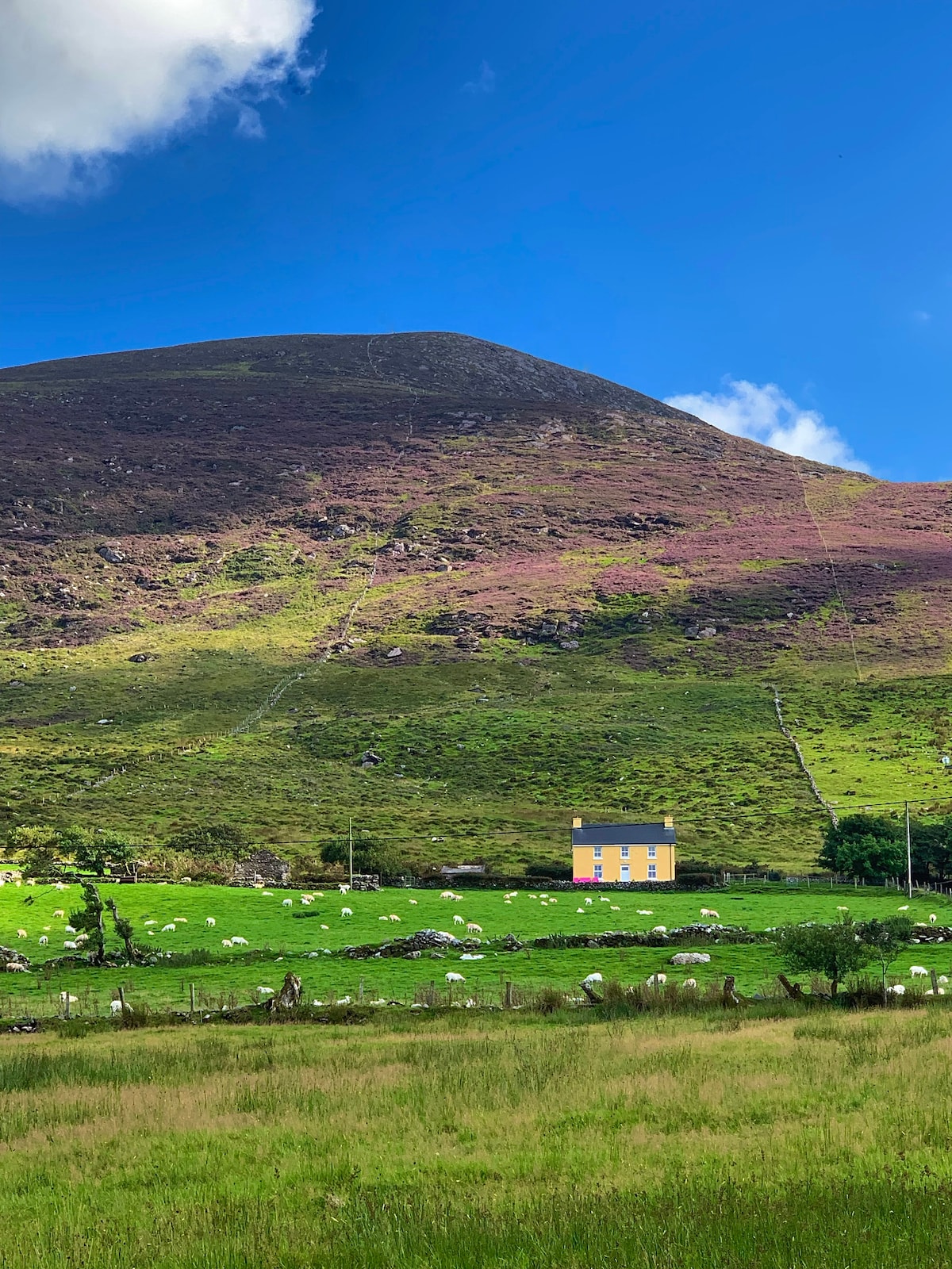 Gullaba HillMountain / peak · 1709 yd
 Kilgarvan Motor MuseumMuseum · 1.5 mi
 Battle of Callannbattle · 1.6 mi
 Bridge in Inchimore (glanarought By., Kenmare Ed)Bridge · 1.7 mi
 Great Southern & Western RailwayMemorial · 2.6 mi
 CaoinkeenCliff · 2.7 mi
 Castle (Site of)Castle, unclassified · 3.0 mi
 European YewEuropean Yew · 3.0 mi