What is recorded here
Fairy fort and stone ringfort in Newtown (rathdown By.) stand on a south-facing slope above Glencullen village, where furze still smothers the remains of human occupation. The circular enclosure measures twenty-three metres across, with a drystone wall one and a half metres thick and an external ditch two metres wide. A curving internal wall divides the space into two compartments, while hut sites crowd the northern half and a five-metre entrance opens toward the southeast. Field walls radiate from the west and southeast, suggesting this was never an isolated stronghold but a lived-in landscape of boundaries, pasture and memory.
Situated on a S-facing, furze-covered slope above Glencullen village. A ringfort comprising of a circular sunken area (int. diam.23m) enclosed by a drystone wall (Wth 1.5m; H 0.6m) which rises to three courses and an external fosse (Wth 2m; D 0.5m). The interior is divided into two compartments by a curving wall. There are furze-covered hut sites in the N half. The entrance (Wth 5m) is in the SE. A series of curving field walls radiate from the W and SE of site (Herity 2001, 22-4). Recent aerial coverage of the area (OS 10:4735) shows a system of irregular fields extending into both the remaining unimproved pasture onthe hill and the improved pasture N of the cashel.
Compiled by: Geraldine Stout and Padraig Clancy
Revised upload on: 28 July 2018
The monument record does not grant public access. Check the route and ask the landowner before entering private land.
- What survives
- Recorded monument
Places near here
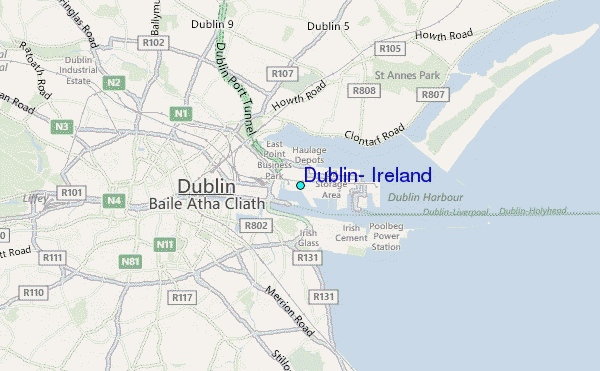 Field system in Newtown (rathdown By.)Field system · 93 yd
 CairnCairn, burial cairn · 169 yd
 IndicatedBuilding · 170 yd
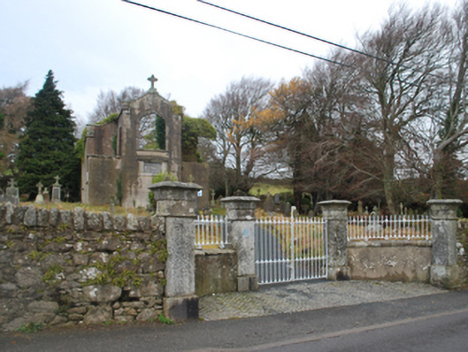 Saint Patrick's Catholic Chapelchurch/chapel · 294 yd
 Ballybetagh WoodForest · 1479 yd
 Ballyedmonduff ForestForest · 1.3 mi
 Barnaslingan HillMountain / peak · 1.5 mi
 Two Rock MountainMountain / peak · 1.6 mi
 Barnaslingan - Scalp Lookout TrailWalking route · 1.6 mi
 Barnaslingan - Pine loop trailWalking route · 1.7 mi
 Ballycorus castle Site ofCastle, tower house · 1.7 mi
 Bawn in Carrickmines GreatBawn · 2.5 mi