
What is recorded here
Possible robbed out burial cairn recorded by James Kyle as a 'satellite tomb' in 2003 while carrying out an archaeological survey of the lands at Newtown and Glencullen. Site described by James Kyle as follows; 'The term satellite tomb is used to refer to a smaller, similar tomb in close proximity to a larger/main tomb and thus the remains of the stone cairn, 12m northeast of Ossian’s Grave fit that bill. This monument was broadly oval shape in plan, with cairn/kerb material surviving on the northern, western and southern sides of the mound which was oriented NW-SE and measured 8m x 6m. From the remains it would appear that the tomb may have opened to the southeast and the presence of several large granite boulders on the inside of the kerb material and in the adjacent field boundary is perhaps suggestive of this monument possessing a degree of sophistication above that of a simple cairn. The flat, oval shaped interior of the monument measured 7.5m NW-SE x 4.5m NE-SW. The overall impression from the remains suggests that it was either a small, chambered tomb or simply a cairn raised above a burial, and again whilst it is depicted by the 1837 O.S. mapping, it is not an RMP or present on the SMR or the 1910 mapping' (Kyle 2023, 22).
Compiled by: Caimin O'Brien based on details provided by James Kyle
A Neolithic burial cairn, likely dating to the Early to Middle Bronze Age, identified as a 'satellite tomb' associated with broader funerary landscapes in the region. Its significance lies in its potential relationship to nearby monuments, reflecting communal burial practices and social organization in prehistoric Ireland.
The monument record does not grant public access. Check the route and ask the landowner before entering private land.
- What survives
- Recorded monument
Places near here
 Field system in Newtown (rathdown By.)Field system · 80 yd
 Enclosure in BallybetaghEnclosure · 260 yd
 IndicatedBuilding · 275 yd
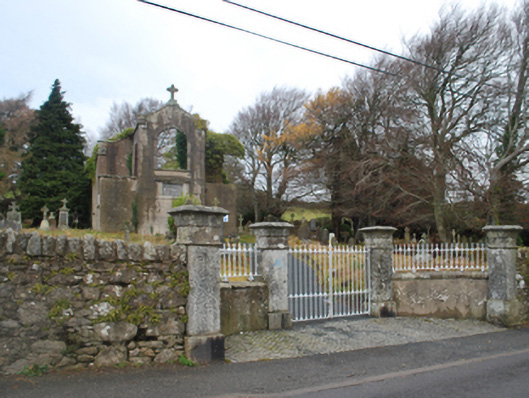 Saint Patrick's Catholic Chapelchurch/chapel · 357 yd
 Ballybetagh WoodForest · 1312 yd
 Ballyedmonduff ForestForest · 1.4 mi
 Barnaslingan HillMountain / peak · 1.4 mi
 Barnaslingan - Scalp Lookout TrailWalking route · 1.5 mi
 Barnaslingan - Pine loop trailWalking route · 1.6 mi
 Ballycorus castle Site ofCastle, tower house · 1.6 mi
 Two Rock MountainMountain / peak · 1.7 mi
 Bawn in Carrickmines GreatBawn · 2.4 mi
Other information
Photo: Credit not shown in the picture search · Rights wording not checked; contact us if this picture should be removed