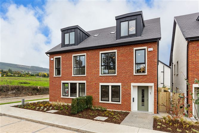
What is recorded here
The site is situated in an area of improved pasture at the foot of Newtown mountain near Glencullen Village. This site is shown on the 1843 OS 6-inch map as a roughly circular enclosure (diam. c. 25m). It is probably one of the circles in Ballybetagh identified in the OS Letters in 1837 (Herity 2001, 15). The enclosure is not visible at ground level.
Compiled by: Geraldine Stout and Padraig Clancy.
Revised upload on: 14 April 2018.
The monument record does not grant public access. Check the route and ask the landowner before entering private land.
- What survives
- Recorded monument
Places near here
 CairnCairn, burial cairn · 260 yd
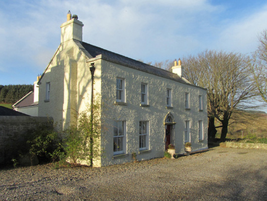 Ballybetagh Housefarm house · 315 yd
 Field system in Newtown (rathdown By.)Field system · 330 yd
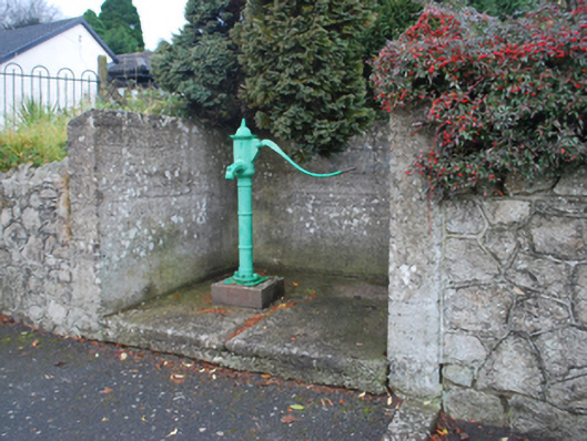 water pumpwater pump · 497 yd
 Ballybetagh WoodForest · 1058 yd
 Barnaslingan HillMountain / peak · 1.3 mi
 Barnaslingan - Scalp Lookout TrailWalking route · 1.4 mi
 Barnaslingan - Pine loop trailWalking route · 1.5 mi
 Ballyedmonduff ForestForest · 1.5 mi
 Ballycorus castle Site ofCastle, tower house · 1.5 mi
 Two Rock MountainMountain / peak · 1.8 mi
 Bawn in Carrickmines GreatBawn · 2.3 mi
Other information
Photo: Credit not shown in the picture search · Rights wording not checked; contact us if this picture should be removed