What is recorded here
Recent aerial coverage of the area (OS 10:4735) shows a system of irregular fields extending into both the remaining unimproved pasture on the hill and the improved pasture N of the cashel.
Compiled by: Geraldine Stout and Padraig Clancy.
Revised upload on: 14 April 2018.
The monument record does not grant public access. Check the route and ask the landowner before entering private land.
- What survives
- Recorded monument
Places near here
 CairnCairn, burial cairn · 80 yd
 Cultivation ridges in Newtown (rathdown By.), GlencullenCultivation ridges · 228 yd
 IndicatedBuilding · 231 yd
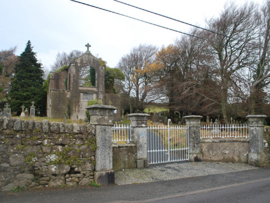 Saint Patrick's Catholic Chapelchurch/chapel · 335 yd
 Ballybetagh WoodForest · 1386 yd
 Ballyedmonduff ForestForest · 1.3 mi
 Barnaslingan HillMountain / peak · 1.5 mi
 Barnaslingan - Scalp Lookout TrailWalking route · 1.6 mi
 Barnaslingan - Pine loop trailWalking route · 1.6 mi
 Two Rock MountainMountain / peak · 1.7 mi
 Ballycorus castle Site ofCastle, tower house · 1.7 mi
 Bawn in Carrickmines GreatBawn · 2.5 mi
Other information
Photo: Credit not shown in the picture search · Rights wording not checked; contact us if this picture should be removed