What is recorded here
Fairy fort / stone ringfort in Moygara is a fairy fort or stone ringfort in Moygara, County Sligo, Ireland. A ruined moss-covered stone wall survives in a shallow arc within an impenetrable thicket of blackthorn and brambles. An exclusion zone of several metres remains unplanted around the cashel in the coniferous plantation.
In a coniferous plantation, on a level area on a NE-facing slope. An exclusion zone of several metres has been left unplanted around the cashel. Indicated on the 1942-3 OS 6-inch map by an arc of hachures SE-SW. A ruined moss-covered stone wall (Wth c. 3m; H 0.5m) survives SE-SW in a shallow arc (C c. 20m). It is engulfed in an impenetrable thicket of blackthorn and brambles and only the SW section could be inspected. This wall may be the remains of a cashel. There is a NW-SE field boundary immediately to N, on the N side of which is a level area (c. 15m E-W) clear of trees which could be the remains of the N half of the cashel.
The above description is derived from the published 'Archaeological Inventory of County Sligo' compiled by Ursula Egan, Elizabeth Byrne, Mary Sleeman with Sheila Ronan and Connie Murphy (Dublin Stationery Office, 2005).
Date of upload: 18 January 2008
The monument record does not grant public access. Check the route and ask the landowner before entering private land.
- What survives
- Recorded monument
Places near here
 Moygara CastleCastle · 417 yd
 Moygara Castle (in Ruins)Bawn · 420 yd
 IndicatedFairy fort / earthen ringfort · 485 yd
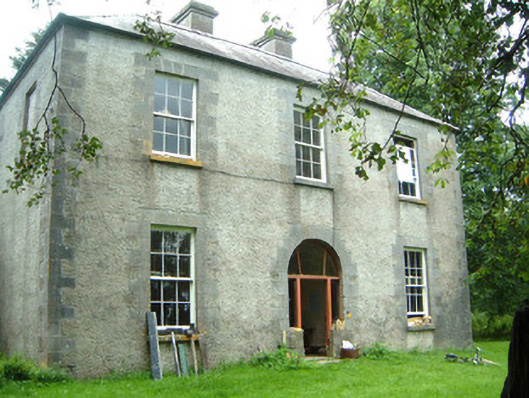 Redhill Househunting/fishing lodge · 1.0 mi
 Crow IslandIslet · 1.4 mi
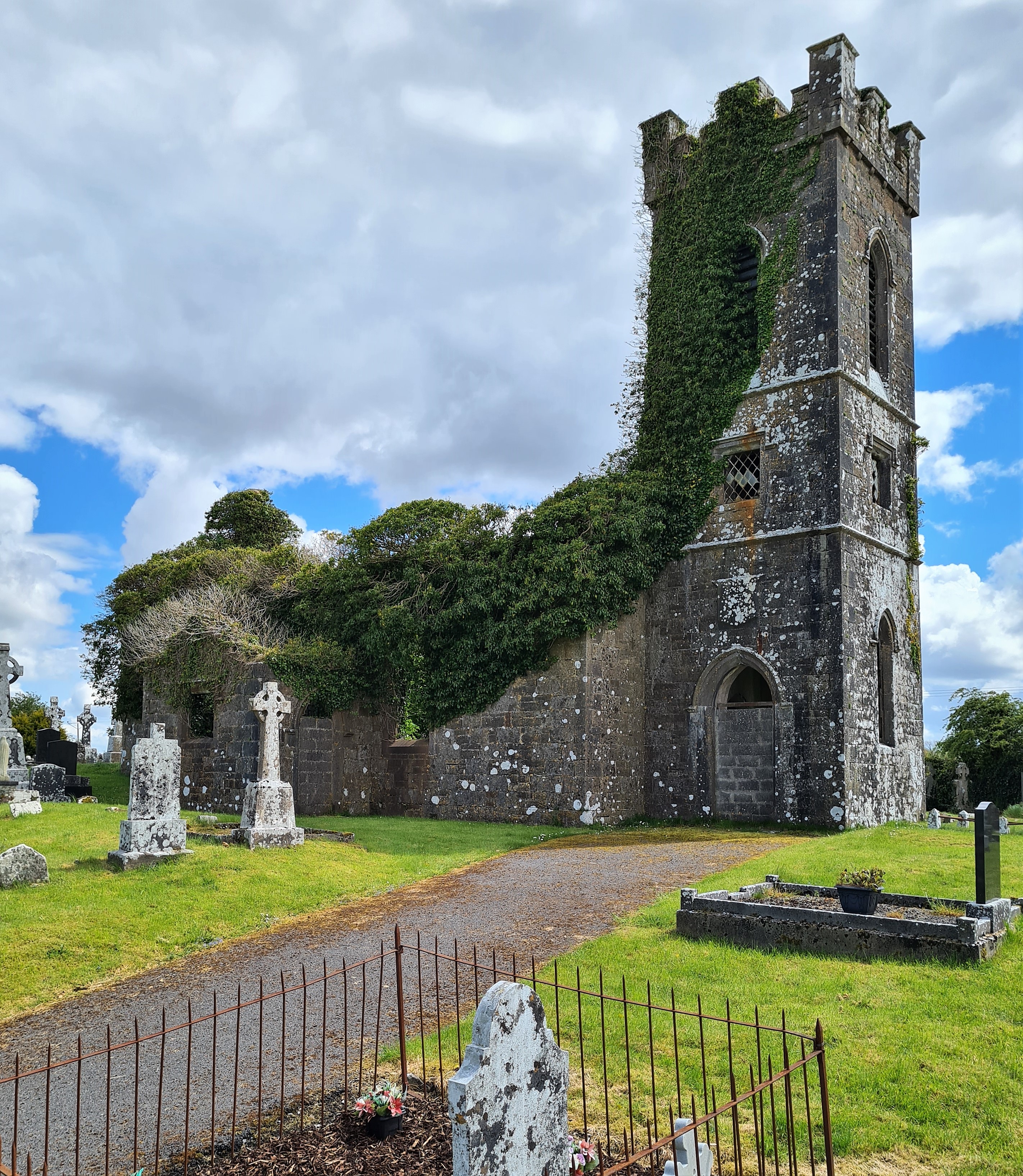 Ritual siteRitual site, holy/saint's stone · 1.5 mi
 Templerooaun (in Ruins)Church · 1.8 mi
 Inch IslandIslet · 2.0 mi
 Castle PointHeadland · 2.0 mi
 Rose PointHeadland · 2.7 mi
 Curlew MountainsMountain / peak · 4.0 mi
 Bockagh HillMountain / peak · 5.8 mi