
What is recorded here
In rough pasture, on a steep NE-facing slope overlooking Lough Gara. A circular area (40.5m NW-SE; 40m NE-SW) enclosed on the upslope SE-WNW by a ruined stone wall and on the downslope by a levelled grassy scarp NW-N and by a stone-faced scarp (H 2m) NNE-SE. The stone wall has an intact external face (H 1.2m) in parts to S and W but is evident mainly as a compact heap of stones (Wth 1.5-2m; int. H 0.5m; ext. H 0.6m). The interior slopes steeply down to NE with the natural hillslope and is covered with long grass and rushes. The perimeter is densely ringed with blackthorn bushes and brambles. The rath has been incorporated into a field system and it is not clear to what extent the extant enclosing wall represents a primary enclosing element or a later modification. A telegraph pole stands on the scarp at N.
The above description is derived from the published 'Archaeological Inventory of County Sligo' compiled by Ursula Egan, Elizabeth Byrne, Mary Sleeman with Sheila Ronan and Connie Murphy (Dublin Stationery Office, 2005).
Date of upload: 18 January 2008
The monument record does not grant public access. Check the route and ask the landowner before entering private land.
- What survives
- Recorded monument
Places near here
 Moygara CastleCastle · 803 yd
 Moygara Castle (in Ruins)Bawn · 805 yd
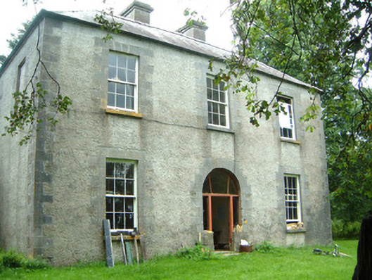 Redhill Househunting/fishing lodge · 1.1 mi
 Crow IslandIslet · 1.1 mi
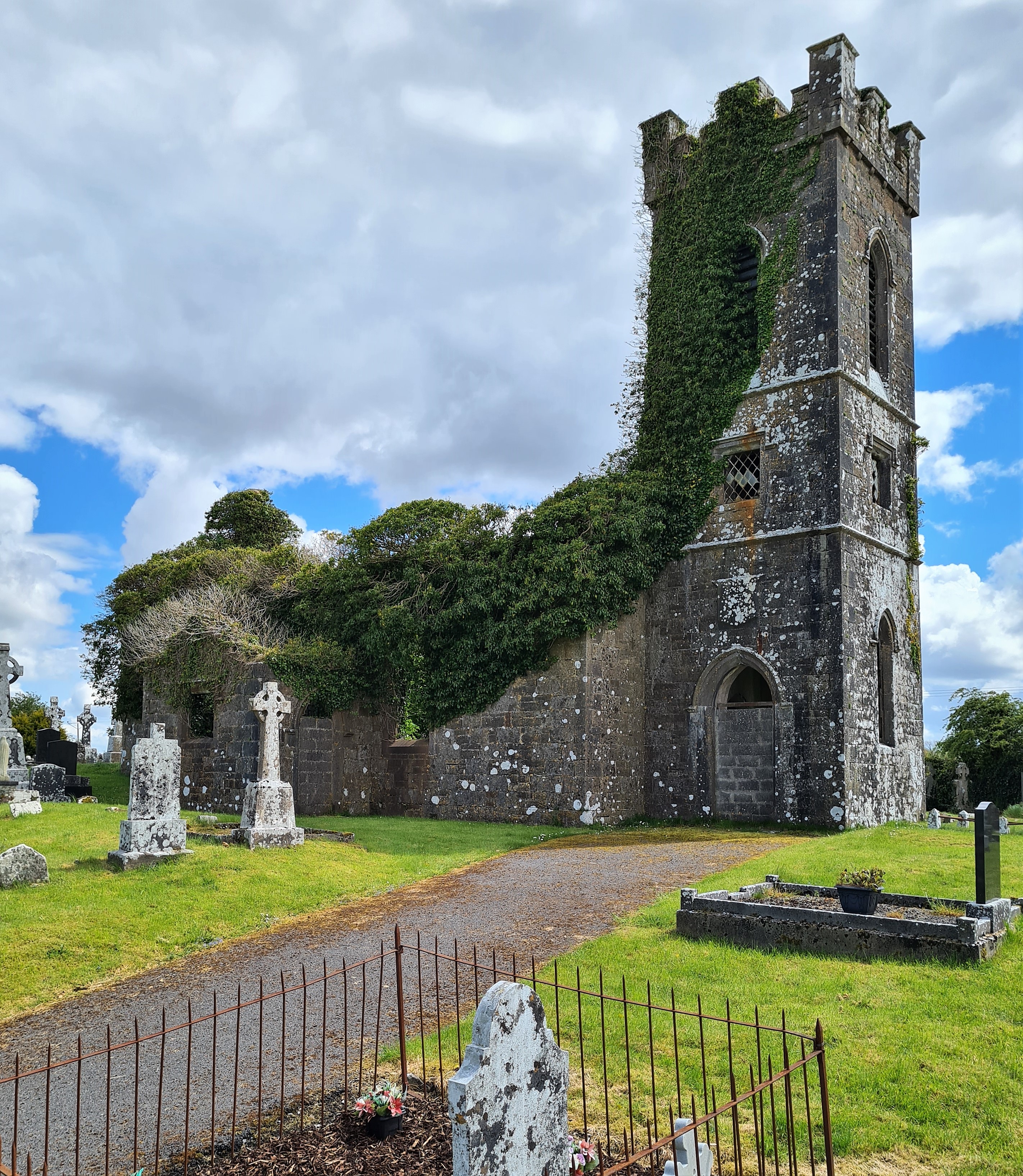 Ritual siteRitual site, holy/saint's stone · 1.3 mi
 Ecclesiastical enclosure in CuppanaghEcclesiastical enclosure · 1.5 mi
 Templerooaun (in Ruins)Church · 1.6 mi
 Inch IslandIslet · 1.8 mi
 Castle PointHeadland · 1.8 mi
 Rose PointHeadland · 2.5 mi
 Curlew MountainsMountain / peak · 3.9 mi
 Bockagh HillMountain / peak · 6.0 mi
Other information
Photo: Credit not shown in the picture search · Rights wording not checked; contact us if this picture should be removed