What is recorded here
Situated on a slight rise in gently undulating pasture. Not shown on any edition of the OS 6-inch map. However it is visible from aerial photographs (ACP V204/100-1). Slightly raised roughly circular area (diam. 20m) defined by a stone bank (Wth 3.3m; int. H 0.85m). No fosse visible. Original entrance not recognisable.
Compiled by: Patrick F. O'Donovan
Date of upload: 21 April 2011
The monument record does not grant public access. Check the route and ask the landowner before entering private land.
- What survives
- Recorded monument
Places near here
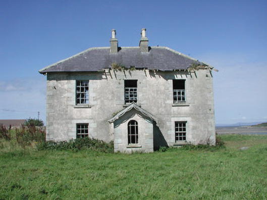 Mount Temple Housefarm house · 441 yd
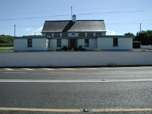 Carn National Schoolschool · 443 yd
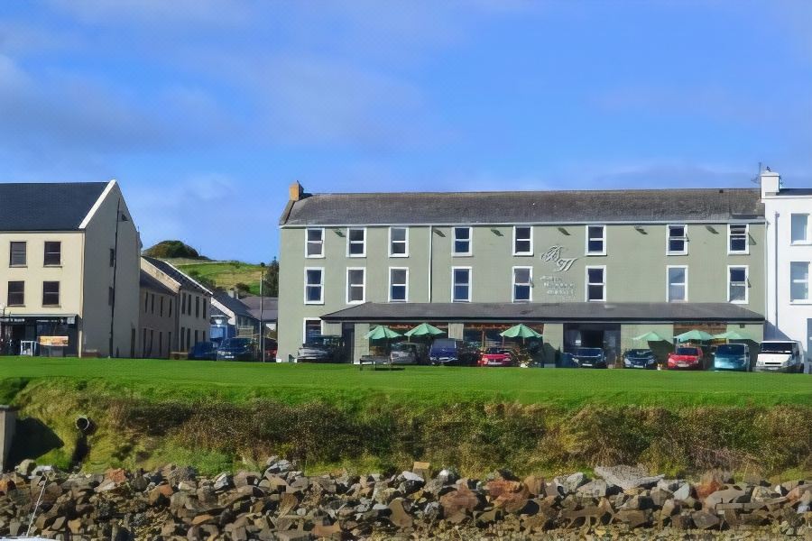 Tober PatrickHoly well · 849 yd
 IndicatedFairy fort / stone ringfort · 1278 yd
 Connors IslandIsland · 1.2 mi
 InishnagorIslet · 1.7 mi
 Trawalua StrandBeach / strand · 1.9 mi
 CastleCastle, unclassified · 1.9 mi
 Atlantic SheepdogsHeritage attraction · 2.7 mi
 Classiebawn WoodsWood · 2.7 mi
 Streedagh BeachVisitor information · 2.8 mi
 de Cuellar Armada MonumentMemorial · 3.1 mi