
What is recorded here
In good pasture with views to N-S-W. Raised circular area (int. diam. 19m N-S) enclosed by a ruined wall which adjoins a stream on the NE side. Interior slopes W-E. Possible indication of a fosse on the NNE. No indication of entrance.
Compiled by: Patrick F. O'Donovan
Date of upload: 02 April 2013
A local fairy fort (ringfort/rath); wider significance not recorded.
The monument record does not grant public access. Check the route and ask the landowner before entering private land.
- What survives
- Recorded monument
Places near here
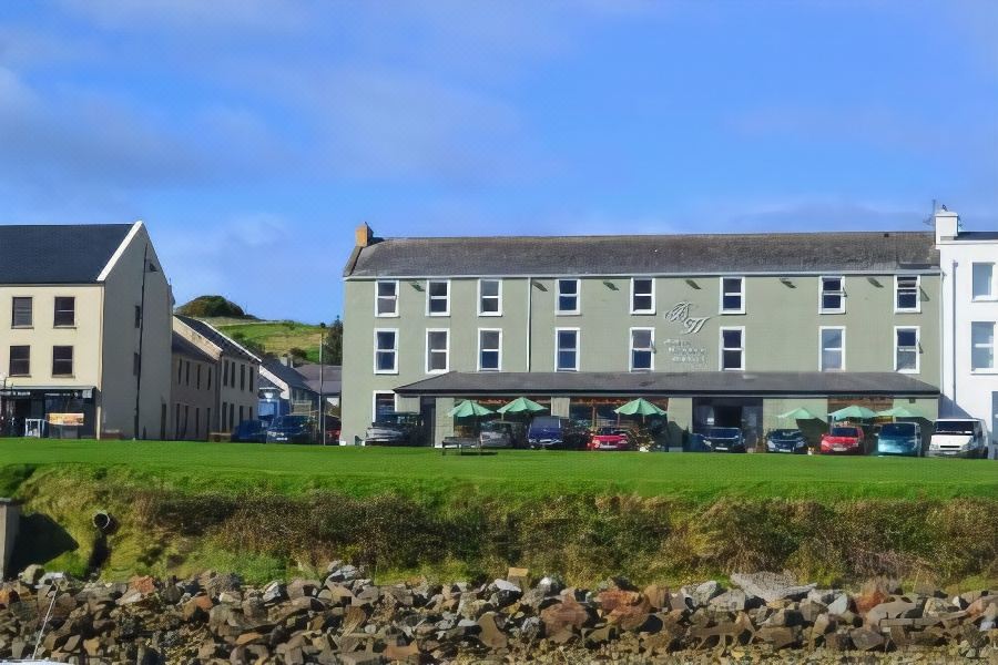 Tober PatrickHoly well · 1490 yd
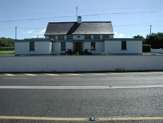 Carn National Schoolschool · 1582 yd
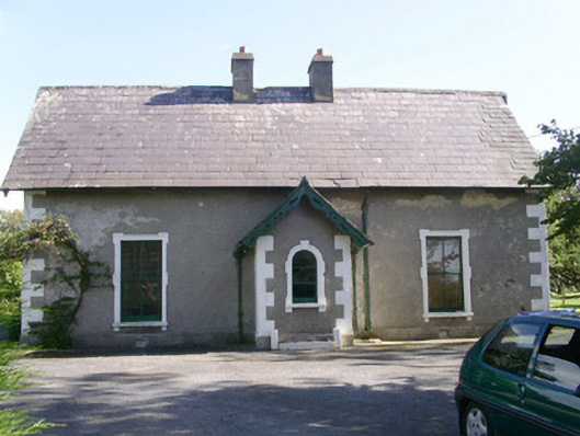 Denver Lodgehouse · 1622 yd
 Enclosure in MoneygoldEnclosure · 1.2 mi
 Trawalua StrandBeach / strand · 1.3 mi
 Connors IslandIsland · 1.8 mi
 Classiebawn WoodsWood · 2.0 mi
 Creevykeel Court TombNeolithic court tomb · 2.2 mi
 InishnagorIslet · 2.4 mi
 Unbaptised Children MonumentMemorial · 2.5 mi
 CastleCastle, unclassified · 2.6 mi
 BenwiskinMountain / peak · 3.0 mi
Other information
Photo: Credit not shown in the picture search · Rights wording not checked; contact us if this picture should be removed