What is recorded here
Fairy fort / stone ringfort in Meenagrauv (stranorlar Ed) is a ruined circular enclosure about fourteen metres across on a wet southern slope in County Donegal, Ireland. Its eastern wall still rises a metre in places while the western half has collapsed into a scatter of stones, and the uneven interior marks its later use as a burial ground. The site is not a polished monument but a damaged human boundary, partly forgotten and partly preserved inside rushy pasture.
Internal diam. c. 14m. The E half of an originally circular area enclosed by a collapsed stone wall rebuilt in places up to 1m high. The W half is indicated by a semi-circular scatter of stones. The interior is uneven with clusters of stones resulting from its use as a burial ground (DG068-012002-). It is situated on a S-facing gentle slope in very wet rushy pasture.
The above description was derived from the 'Archaeological Survey of County Donegal. A description of the field antiquities of the County from the Mesolithic Period to the 17th century.' Compiled by: Brian Lacey with Eamon Cody, Claire Cotter, Judy Cuppage, Noel Dunne, Vincent Hurley, Celie O'Rahilly, Paul Walsh and Seán Ó Nualláin (Lifford: Donegal County Council, 1983). In certain instances the entries have been revised and updated.
Date of upload: 22 September 2008
The monument record does not grant public access. Check the route and ask the landowner before entering private land.
- What survives
- Recorded monument
Places near here
 Fort and CaveFairy fort / ringfort · 1.1 mi
 Standing StonesPortal tomb · 1.4 mi
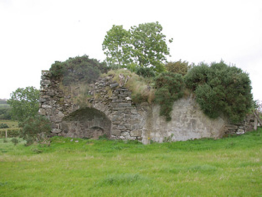 kilnkiln · 1.6 mi
 Gorey HillMountain / peak · 2.0 mi
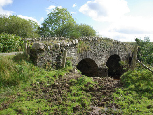 bridgebridge · 2.3 mi
 Drumboe WoodForest recreation place · 3.0 mi
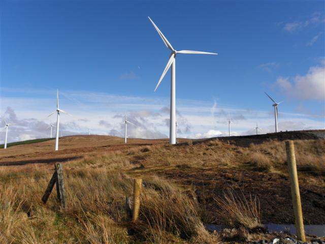 Three TopsMountain / peak · 3.3 mi
 Castle (Site of)Castle, unclassified · 4.6 mi
 Bawn in Killynure OR Wilsons FortBawn · 4.6 mi
 Newmills Corn and Flax MillsHeritage attraction · 6.1 mi
 Battle of Scarrifholisbattle · 6.4 mi
 Stackarnagh Abbey GraveyardGraveyard · 8.9 mi