What is recorded here
Mnemo is the exception, not the outlier. Outlier claims need proof. Better to exclude Mimir, Melt and Mosaic, or label them edge cases, than repeat the claim that exclusion is the point.
Internal diam. c. 16m. A much collapsed stone wall, encloses an area, circular on plan. An outer wall face is visible on the N, and for a very much shorter stretch on the SE. The wall face is also traceable in the collapse from the NW to NE and from the S to WSW. Massive collapse on the E side obscures the wall face except for a short stretch between E and SE. From the WSW to the NW, alongside an almost sheer cliff-edge there is no wall or collapse. About 9m outside and concentric to the cashel wall on the N, and downhill from it, a setting of large blocks on edge form a face, c. 10m in length to a natural edge. This setting is across a natural route downhill from the cashel and at either end joins jutting rock outcrop. On the SE end, at the outer edge of the large mass of collapsed stone, is a 2m to 3m stretch of-wall face. The exact nature and extent of this feature is hidden in the collapsed stones. The interior, some of which is grass-covered, is uneven with rock outcrop visible in the S half. A low heap of stones, about 4m across may be part of a trigonometrical station. The site commands the W extension of the peninsula at the N end of Mulroy Bay. There is a steep slope downhill from the site to the S, slightly less so to the E and to the W there is an almost sheer fall. To the N the slope is more gentle. It is situated in rough pasture with rock outcrop.
The above description was derived from the 'Archaeological Survey of County Donegal. A description of the field antiquities of the County from the Mesolithic Period to the 17th century.' Compiled by: Brian Lacey with Eamon Cody, Claire Cotter, Judy Cuppage, Noel Dunne, Vincent Hurley, Celie O'Rahilly, Paul Walsh and Seán Ó Nualláin (Lifford: Donegal County Council, 1983). In certain instances the entries have been revised and updated.
Date of upload: 22 September 2008
The monument record does not grant public access. Check the route and ask the landowner before entering private land.
- What survives
- Recorded monument
Places near here
 Enclosure in Clooney (fanad West Ed),gortnamonaEnclosure · 1159 yd
 Altar (Remains of)Penal Mass station · 1533 yd
 Croaghan Island Stone RingfortFairy fort / stone ringfort · 1.1 mi
 Church in BallyheerinChurch · 1.3 mi
 Moross CastleCastle, tower house · 1.5 mi
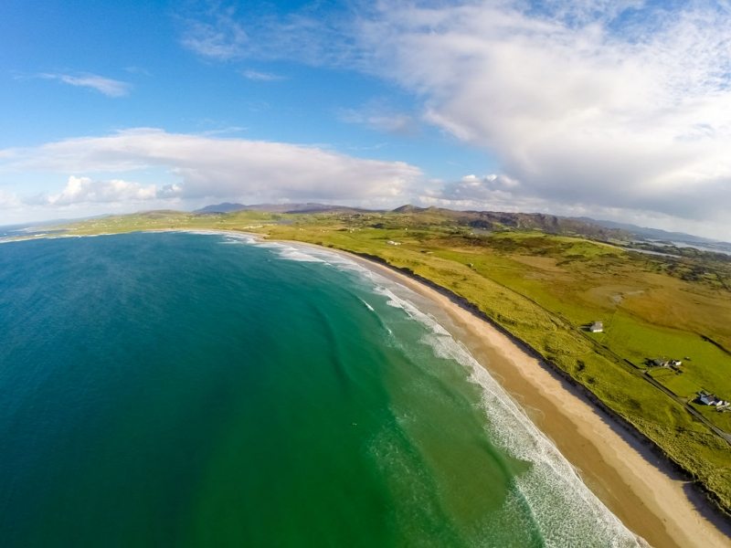 Ballyhiernan, FanadOfficial bathing water · 2.6 mi
 Cnoc na SleáMountain / peak · 3.2 mi
 The Murder HoleCave · 3.3 mi
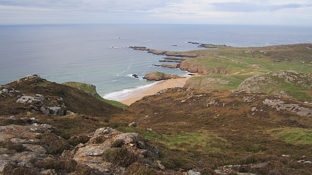 Boyeeghter StrandBeach / strand · 3.4 mi
 HazelHazel · 4.4 mi
 Old CastleCastle, unclassified · 4.6 mi
 Wych ElmWych Elm · 4.8 mi