What is recorded here
Fairy fort / stone ringfort in Longford Demesne is a fairy fort or stone ringfort in Longford Demesne, County Sligo, Ireland. It occupies a low rise in undulating pasture and appears as a copse or quarry on the 1837 edition of the OS 6-inch map. The site consists of a raised oval area enclosed by grass-covered drystone wall remains that incorporate field clearance stones, with wide breaks at the northwest and southeast. Evidence for a man-made underground passage lies just outside the southeast bank, while a rectangular enclosure adjoins the east side.
Situated on a low rise in undulating pasture. Depicted as a copse or quarry on the 1837 edition of the OS 6-inch map. Raised approx. oval area (dims. 37.6m E-W; 30.8m N-S) enclosed by the grass-covered remains of a drystone wall (Wth. 5m - 5.8m; int. H 0.5m - 1m) which incorporates heaps of field clearance stones. There are wide breaks in the wall at NW and SE. Just outside the bank at SE is evidence for a Man-made underground passage (SL019-105002-). Adjoining the E side of the cashel is a rectangular enclosure (SL019-105003-).
Compiled by: Patrick F. O'Donovan
Date of upload: 19 January 2011
The monument record does not grant public access. Check the route and ask the landowner before entering private land.
- What survives
- Recorded monument
Places near here
 Enclosure in Longford DemesneEnclosure · 30 yd
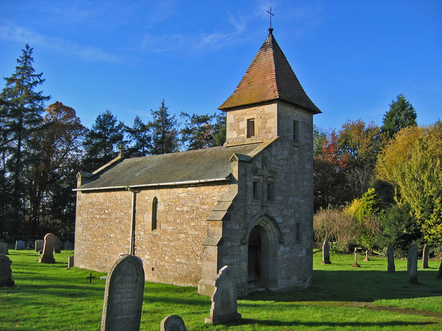 R. C. Chapel in ruinsChurch · 263 yd
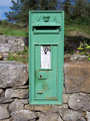 post boxpost box · 274 yd
 Bawn in Longford DemesneBawn · 417 yd
 IndicatedFairy fort / earthen ringfort · 483 yd
 Pigeonpark WoodForest · 828 yd
 European ashEuropean ash · 904 yd
 Giant's GraveArchaeological place · 1.1 mi
 CastleCastle, ringwork · 2.0 mi
 CloonaghMountain / peak · 2.1 mi
 Lahanacappul IslandIslet · 2.2 mi
 Ballinlig PointHeadland · 2.4 mi