What is recorded here
Fairy fort / stone ringfort in Lisseenamanragh is a fairy fort or stone ringfort in Lisseenamanragh, County Roscommon, Ireland. The circular stone-walled enclosure measures about 35 metres across and appears divided into three sections by modern field walls on vertical aerial photographs. Although the land has been reclaimed and the enclosure is no longer visible at ground level in pasture, the dividing field walls remain in place. The site is probably a cashel situated on an undulating landscape.
Visible as a circular stone-walled enclosure (diam. c. 35m) divided into three by field walls of the modern field system on vertical aerial photographs (GSIAP: M 472-3), and situated on an undulating landscape. The land has been reclaimed although the dividing field walls are still in place, but the enclosure is not visible now at ground level in pasture. It is probably a cashel.
Compiled by: Michael Moore
Date of revised upload: 20 September 2018
The monument record does not grant public access. Check the route and ask the landowner before entering private land.
- What survives
- Recorded monument
Places near here
 IndicatedField boundary · 680 yd
 Field system in Carrowmore (athlone North By.)Field system · 1017 yd
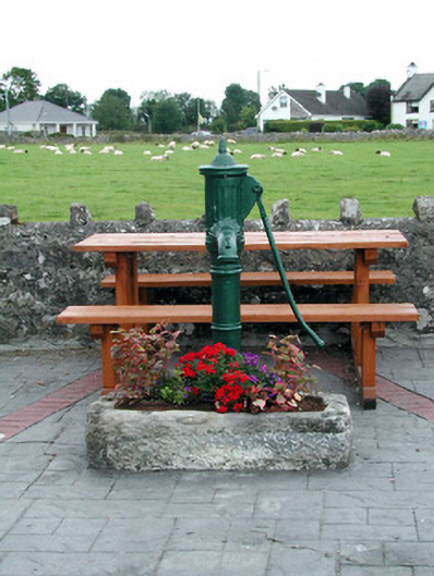 water pumpwater pump · 1.6 mi
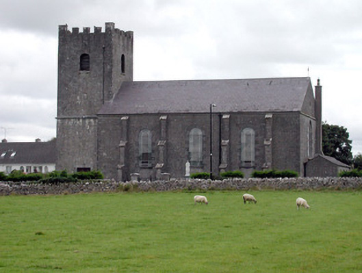 Saint Joseph's Catholic Churchchurch/chapel · 1.6 mi
 Inch IslandIsland · 1.8 mi
 CastleCastle, unclassified · 2.1 mi
 Inchnaveague IslandIslet · 2.5 mi
 Killeglan CastleCastle, unclassified · 4.4 mi
 Sheep HillMountain / peak · 5.0 mi
 LismoneyForest · 5.7 mi
 Aughrane WoodsForest · 6.3 mi
 Mount MaryMountain / peak · 9.4 mi