What is recorded here
Fairy fort / stone ringfort in Lisseenamanragh is a fairy fort or stone ringfort in Lisseenamanragh, County Roscommon, Ireland. The D-shaped grass-covered area measures 22 metres north-south and 18.5 metres east-west, with a 3.7-metre-wide stone spread rising 0.55 metres internally and 0.7 metres externally. Two north-northeast to south-southwest field walls and two cross-walls divide the enclosure into small paddocks, while a north-south field wall truncates the eastern edge. The original entrance remains unidentified.
Visible on aerial photographs (GSIAP: M 472-3) and situated on an undulating landscape. D-shaped grass-covered area (int. dims 22m N-S; 18.5m E-W) defined by a grass-covered stone spread (Wth 3.7m; int. H 0.55m; ext. H 0.7m) but truncated at E by a N-S field wall of field system (RO047-035002-). The enclosure is divided by two NNE-SSW old field walls with two cross-walls creating small paddocks. The original entrance is not identified.
Compiled by: Michael Moore
Date of upload: 24 August 2010
The monument record does not grant public access. Check the route and ask the landowner before entering private land.
- What survives
- Recorded monument
Places near here
 IndicatedField boundary · 799 yd
 Field system in Carrowmore (athlone North By.)Field system · 1061 yd
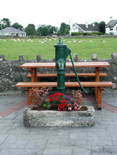 water pumpwater pump · 1.6 mi
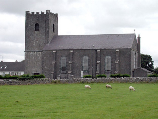 Saint Joseph's Catholic Churchchurch/chapel · 1.6 mi
 Inch IslandIsland · 1.8 mi
 CastleCastle, unclassified · 2.2 mi
 Inchnaveague IslandIslet · 2.5 mi
 Killeglan CastleCastle, unclassified · 4.5 mi
 Sheep HillMountain / peak · 5.0 mi
 LismoneyForest · 5.8 mi
 Aughrane WoodsForest · 6.3 mi
 Mount MaryMountain / peak · 9.3 mi