
What is recorded here
Marked 'Fort' on the OS 1836 and 1876 eds. Raised circular area (int. diam. 31.5m) enclosed by a drystone wall which has been largely levelled. Even where best preserved at S, it barely rises above the enclosed area. Original entrance not recognisable.
The above description is derived from the published 'Archaeological Inventory of County Cavan' (Dublin: Stationery Office, 1995). In certain instances the entries have been revised and updated in the light of recent research.
Date of upload/revision: 22 December 2008
The monument record does not grant public access. Check the route and ask the landowner before entering private land.
- What survives
- Recorded monument
Places near here
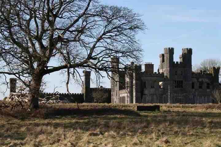 RavenswoodForest · 1045 yd
 Killymeehan ForestForest · 1573 yd
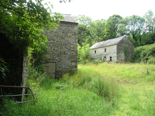 mill (water), miller's housemill (water), miller's house · 1.3 mi
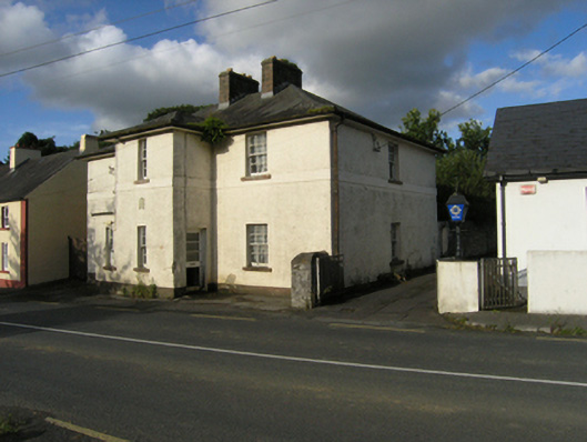 Stradone Garda Síochána Stationgarda station/constabulary barracks · 1.4 mi
 Church (Site of)Church · 1.5 mi
 CliffernaMountain / peak · 1.5 mi
 To The Memory of P.J. DukeMemorial · 1.5 mi
 Lavey FortFairy fort / earthen ringfort · 1.5 mi
 Foundation Stone Blessed by Pope John Paul II 1979Memorial · 1.6 mi
 AghadreenaghMountain / peak · 2.4 mi
 Raven's RockNamed rock · 2.8 mi
 Site of Old CastleCastle, unclassified · 6.2 mi
Other information
Photo: Credit not shown in the picture search · Rights wording not checked; contact us if this picture should be removed