What is recorded here
Killoughcarran is in County Donegal, Ireland. It is a place information. People can visit it, remember it, or tell it to others. The name and description return more than a point on a map.
Marked 'Cashelbane Fort' on the 3rd edition of the OS 6-inch maps. It is not now visible. It stood on a long narrow ridge of rock in poor land overlooking lower ground to the N.
The above description was derived from the 'Archaeological Survey of County Donegal. A description of the field antiquities of the County from the Mesolithic Period to the 17th century.' Compiled by: Brian Lacey with Eamon Cody, Claire Cotter, Judy Cuppage, Noel Dunne, Vincent Hurley, Celie O'Rahilly, Paul Walsh and Seán Ó Nualláin (Lifford: Donegal County Council, 1983). In certain instances the entries have been revised and updated.
Date of upload: 22 September 2008
The monument record does not grant public access. Check the route and ask the landowner before entering private land.
- What survives
- Recorded monument
Places near here
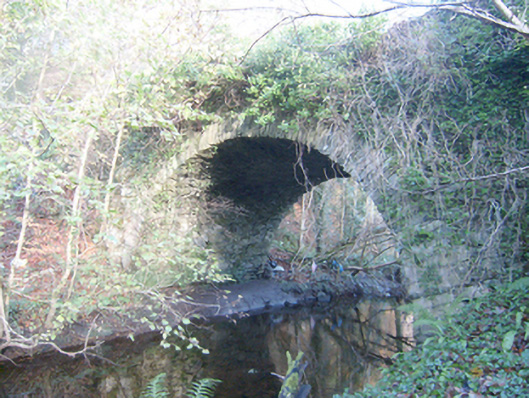 Duntally Bridgebridge · 586 yd
 Duntally Wood Nature ReserveNature reserve · 735 yd
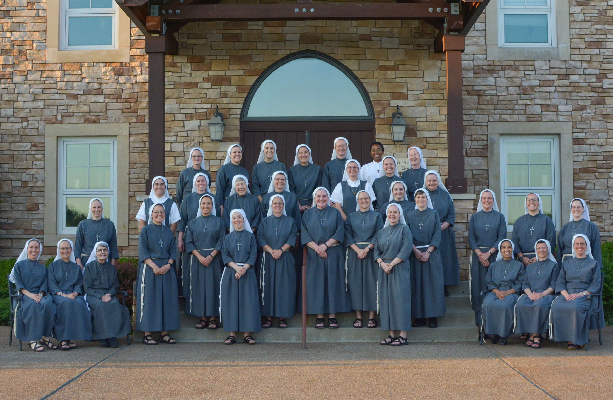 Religious houseReligious house, Franciscan Third Order Regular · 1359 yd
 Former Creeslough EnclosureEnclosure · 1646 yd
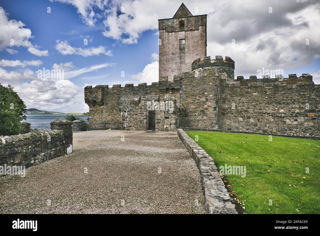 Former Cashel Fairy FortFairy fort / ringfort · 1.1 mi
 Doe CastleCastle, tower house · 1.7 mi
 Ards Forest ParkForest recreation place · 2.8 mi
 Ards Friary Coastal LoopOfficial walking route · 3.1 mi
 The TunnelHeritage attraction · 3.2 mi
 Àn Trá MorBeach / strand · 4.0 mi
 Clonmass IslandIslet · 4.1 mi
 MuckishMountain / peak · 4.1 mi