What is recorded here
Thirty metres across on a gentle rise, the lost fort in Gubacreeny wears a field wall like a scarf and keeps a round shadow full of loose stone where an entrance may still descend. People called it a fairy fort because the shape stopped sounding human once the boundary disappeared. Maybe it was a household, a refuge or a boundary marker before memory thinned. The chamber beneath the grass would not need to be magical once someone stopped expecting permission from the living.
On top of a gentle rise. Circular grass covered area (int. diam. 26m N-S; 25.5m E-W) defined by an overgrown drystone wall (Wth 1.5m at W to 2.55m at NNE; int. H 0.3m; ext. H 0.5m) of large sandstone uprights with a rubble core, which is incorporated into a field wall NW-N. The original entrance cannot be identified. A circular hollow (diam. 1m; D 0.4m) in the NW quadrant contains loose boulders and limestone slabs, and may be the entrance to a Man-made underground passage (LE001-038001-).
The above description is derived from 'The Archaeological Inventory of County Leitrim' compiled by Michael J. Moore (Dublin: Stationery Office, 2003). In certain instances the entries have been revised and updated in the light of recent research.
Date of upload: 23 September 2008
The monument record does not grant public access. Check the route and ask the landowner before entering private land.
- What survives
- Recorded monument
Places near here
 IndicatedFairy fort / stone ringfort · 411 yd
 Church (Site of)Church · 1073 yd
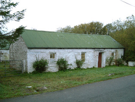 farm housefarm house · 1439 yd
 Bawn in DuncarbryBawn · 1536 yd
 Bundrowes Castle (Site of)Castle, unclassified · 1543 yd
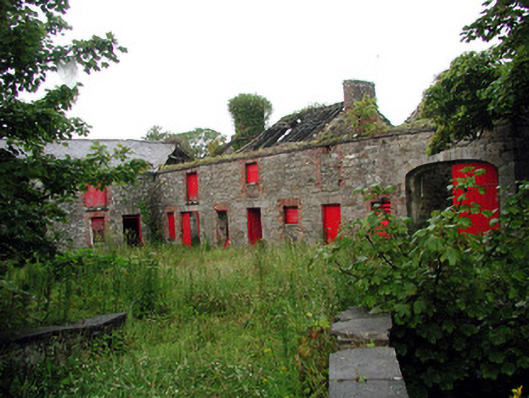 Lodgestables · 1577 yd
 Giant's GraveArchaeological place · 1.7 mi
 BundoranOfficial bathing water · 1.7 mi
 Wishing ChairHeritage attraction · 2.3 mi
 Fairy BrigesHeritage attraction · 2.3 mi
 Cliffs by BundoranPublicly named cliff or headland · 2.5 mi
 Finner Old GraveyardGraveyard · 2.6 mi