What is recorded here
Fairy fort / stone ringfort in Friarstown North stands as a circular cashel about fifteen metres across, hidden beneath dense scrub on a gentle south-facing slope. Its earth-and-stone bank and faint outer ditch still mark the boundary, though age and vegetation have softened the shape. People may have lived there, feared the fairies, or simply avoided the trouble of distinguishing one from the other.
Situated in a field of undulating pasture, on a gentle S-facing slope. The monument is indicated on the 1924 OS 6-inch map as a circular area (diam. c. 15m E-W; c. 15m N-S) enclosed by a bank and fosse. The site is now heavily masked by dense scrub vegetation. It is defined by a scarped edge (Wth 2.5m; H 1m) at NE and by an earth-and-stone bank (int. H 0.7m; Wth 1.1m; ext. H 0.5m) at S. There are traces of an external fosse at N (Wth c. 1.4m; H 0.6m).
Compiled by: Denis Power
Date of upload: 26 April 2013
The monument record does not grant public access. Check the route and ask the landowner before entering private land.
- What survives
- Recorded monument
Places near here
 Quarry in Friarstown NorthQuarry · 123 yd
 CastleCastle, ringwork · 247 yd
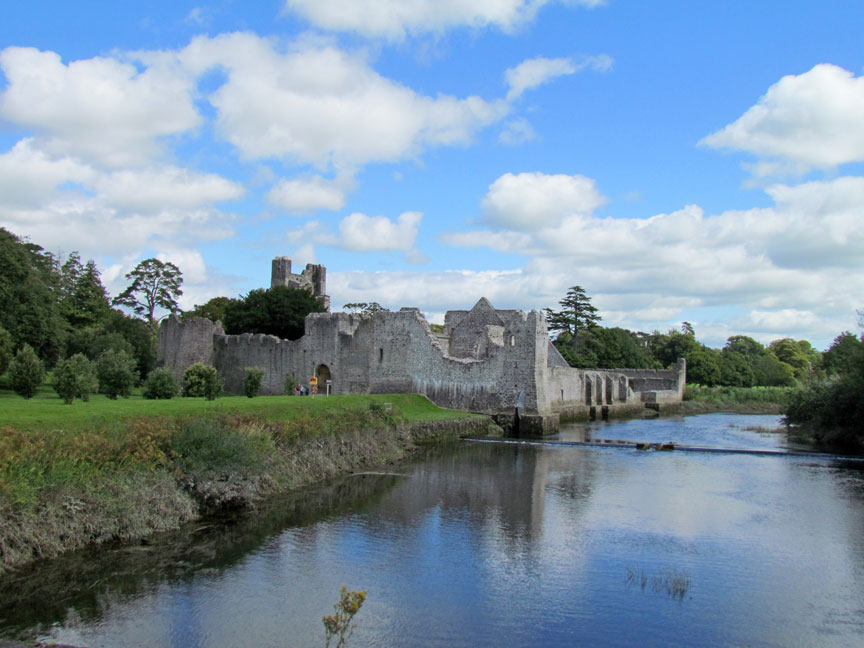 Man-made underground passage in Friarstown (clanwilliam By., Roxborough Ed)Man-made underground passage · 247 yd
 RoadRoad, road/trackway · 535 yd
 Enclosure in Parkroe (clanwilliam By.)Enclosure · 1098 yd
 Partially indicatedBawn · 1231 yd
 Villiers WellSpring · 1.7 mi
 Carnane RockNamed rock · 1.7 mi
 ToberauillinSpring · 1.9 mi
 European ashEuropean ash · 4.3 mi
 Limerick Seamen's MemorialMemorial · 4.9 mi
 Saint John Paul IIMemorial · 5.0 mi