What is recorded here
Towards the S end of a slight N-S ridge on the W side of Feamore Hill. Subcircular grass-covered area (int. dims. c. 24.5m N-S; 21.4m E-W) defined by a grass and scrub-covered stone spread (Wth 5-5.5m; int. H 0.3m; ext. H 0.6-0.8m) with evidence of facing stones, especially NE-ESE (Wth of wall 1.55m). The original entrance is not identified, but the remains of relict field walls are preserved in the interior. Rath (RO048-051----) is c. 20m to the NW.
Compiled by: Michael Moore
Date of upload: 24 August 2010
The monument record does not grant public access. Check the route and ask the landowner before entering private land.
- What survives
- Recorded monument
Places near here
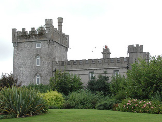 Moyvannan Castlecountry house · 881 yd
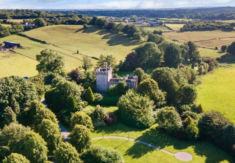 IndicatedFairy fort / earthen ringfort · 1360 yd
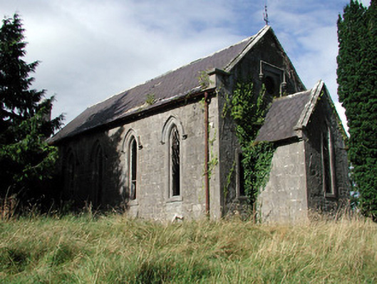 Saint Paul's Church (Kiltoom)church/chapel · 1590 yd
 Hilltop enclosure in CappalisheenHilltop enclosure · 1728 yd
 Carnagh BayBay · 1.8 mi
 Bally BayBay · 1.9 mi
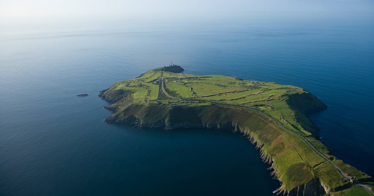 Sedgy IslandIslet · 1.9 mi
 Long IslandIslet · 1.9 mi
 Curraghboy CastleCastle, unclassified · 2.5 mi
 CastlesampsonCastle, tower house · 4.3 mi
 RindoonWood · 4.6 mi
 Siege of Athlonesiege · 4.7 mi