What is recorded here
Thirty feet of grassy ridge and forty of broken stone mark the Doolin fairy fort, where three faded house shadows still lie beneath the turf. The double wall leans outward like a breath held too long, keeping its shape across the pasture despite centuries of rain and forgotten feet. People may have lived there before becoming legend, but the field has swallowed their names and left only the outline of a room the earth refused to erase.
Encompassing the top of a suboval hillock in rough pasture, in an area of undulating land with limestone outcrops within a field system (CL008-057001-). This suboval enclosure (42m NW-SE; 24m NE-SW) is defined by a collapsed double-faced stone wall (Wth 2.2-2.45m) which follows the top of the hillock's natural scarp. The outer wall-face (max. H 1m) survives to one/two courses all around, while the inner wall-face is most clearly visible at SE-S but only intermittently elsewhere. A grass-covered wall runs NE-SW across the N centre of the gently SE-sloping interior. The grassed-over remains of three houses of indeterminate date (CL008-057010-, CL008-057011- and CL008-057012-) lie in the S half.
The following image has been uploaded:
CL008-057007-_01.jpg Aerial view of cashel from S (ASI photo, SMR file)
Compiled by: Mary Tunney and Conn Herriott
Date of upload: 18 October 2022
The monument record does not grant public access. Check the route and ask the landowner before entering private land.
- What survives
- Recorded monument
Places near here
 Enclosure in DoolinEnclosure · 210 yd
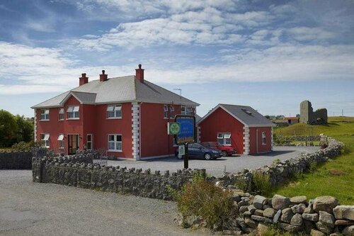 Enclosure in DoonmacfelimEnclosure · 449 yd
 Doonmacfelim Castle (in Ruins)Castle, tower house · 817 yd
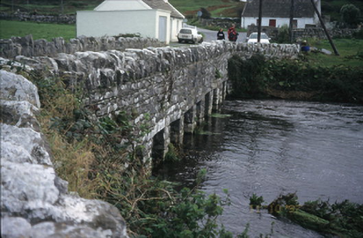 bridgebridge · 966 yd
 Fisherstreet PotCave · 1051 yd
 Church in BallaghalineChurch · 1132 yd
 Doolin FerriesHeritage attraction · 1307 yd
 Wild Atlantic Way: Doolin PierVisitor information · 1313 yd
 Doolin PointHeadland · 1429 yd
 Ballaghaline PointHeadland · 1595 yd
 CastleCastle, unclassified · 1649 yd
 Crab IslandIslet · 1.0 mi