What is recorded here
Doobally holds a steep stone ring on a prominent drumlin, preserving a grassy oval narrow enough for forty paces yet tall enough to command the land. Its broken southern wall and narrow entrance suggest people valued the clarity of that ridge more than the comfort of a broad chamber. The fairies may have borrowed the shape, but human hands more likely arranged the stones because seeing and being seen mattered there.
On top of a steep-sided and prominent drumlin. Grass-covered oval area (int. dims 25.5m NNW-SSE; 19.5m NNE-SSW) defined by a steep stone-covered scarp, except SSE-S where there is a collapsed drystone wall (Wth 3.15m; int. H 0.2m; ext. H 1.65-1.9m), with an external berm (Wth 2.5m). The entrance (Wth 1.4m) is at S.
The above description is derived from 'The Archaeological Inventory of County Leitrim' compiled by Michael J. Moore (Dublin: Stationery Office, 2003). In certain instances the entries have been revised and updated in the light of recent research.
Date of upload: 23 September 2008
The monument record does not grant public access. Check the route and ask the landowner before entering private land.
- What survives
- Recorded monument
Places near here
 IndicatedFairy fort / stone ringfort · 229 yd
 Enclosure in TullaghanEnclosure · 755 yd
 Bawn in DuncarbryBawn · 926 yd
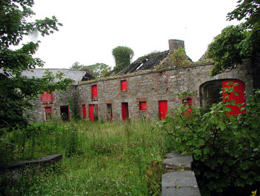 Lodgestables · 964 yd
 Bundrowes Castle (Site of)Castle, unclassified · 1050 yd
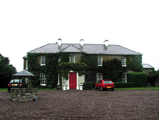 Tullaghan Househouse · 1168 yd
 Giant's GraveArchaeological place · 1.4 mi
 BundoranOfficial bathing water · 1.9 mi
 Wishing ChairHeritage attraction · 2.4 mi
 Fairy BrigesHeritage attraction · 2.4 mi
 Cliffs by BundoranPublicly named cliff or headland · 2.7 mi
 Finner Old GraveyardGraveyard · 2.8 mi