What is recorded here
At the edge of a shelf on a NNW-facing slope with extensive views to the E and NE.
Hachured on the 1840 and 1916 OS 6-inch maps. Listed as ‘enclosure’ in the RMP (1996).
A roughly circular cashel (dims. 35.1m NNE-SSW; 33.5m WNW-ESE crest to crest) defined from E to NW by a collapsed and grass-covered drystone wall (Wth 3.5-4.5m at base; int. H 0.3-0.45m at S; ext. H 0.45m at S). At N and NE, the wall has been reduced to a scarp (H 0.2m at E and NE; max. H 1m at N) and at N in particular the outer edge of the scarp is difficult to determine.
A single stone at SW (dims. L 0.15m; Wth 0.8m; H 0.6m) has its long axis pointing towards the centre of the site. The interior slopes to the NW where the ground is lower (1.4m) than at SE. A step of rock outcrop is exposed inside the perimeter at the N (max. H c. 0.6m) and a low collapsed and grassed-over drystone wall (H 0.2m; Wth 2m) extends across the interior from E to NW. An adjoining field wall at N and NE has recently been removed and piles of field clearance rubble are visible along the extant wall to the E. A natural scarp curves parallel to the perimeter of the site along the NW giving the false impression of an internal fosse (Wth 4m).
Compiled by: Mary Tunney and Lynda McCormack
Date of upload: 18 July 2022
A fairy fort / stone ringfort in Crossard is a roughly circular early-medieval cashel, likely dating to between the 6th and 10th centuries, with a diameter of 35.1m NNE-SSW. It appears as an 'enclosure' in the 1996 RMP and was hachured on 19th-century Ordnance Survey maps, while local tradition associates it with fairy lore typical of such sites in Irish folklore.
The monument record does not grant public access. Check the route and ask the landowner before entering private land.
- What survives
- Recorded monument
Places near here
 Moravian ChurchChurch · 567 yd
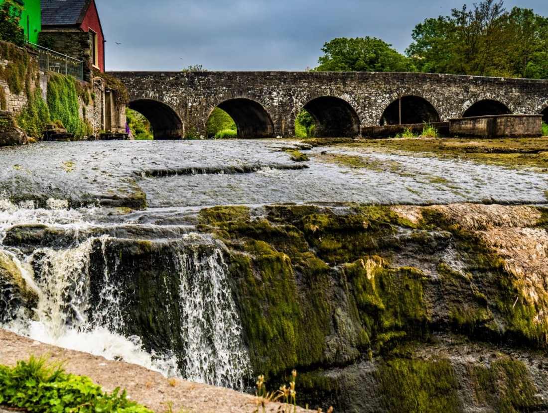 IndicatedEnclosure · 815 yd
 CaherFairy fort / stone ringfort · 822 yd
 Fergus River CaveCave · 1236 yd
 ‘De Clare’s House (in ruins)’ (1842 )Bawn · 1288 yd
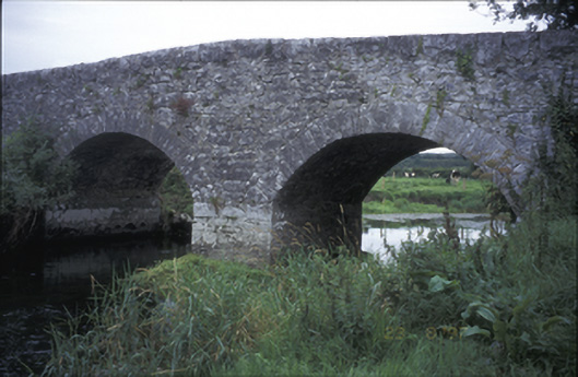 Poplar Bridgebridge · 1473 yd
 Castle (in ruins)Castle, tower house · 1582 yd
 Inchiquin IslandIslet · 1.3 mi
 Rock IslandIsland · 1.4 mi
 Farbrega RockNamed rock · 3.3 mi
 European ashEuropean ash · 4.8 mi
 Burren Centre KilfenoraVisitor information · 4.9 mi